1892 Map of Pinegrove
USGS Topo · Published 1898About this map
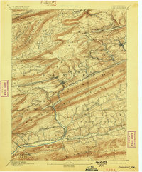
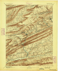
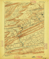
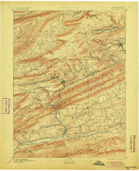
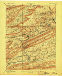
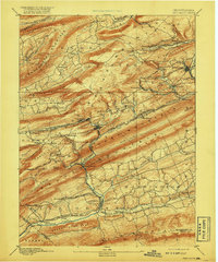
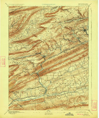
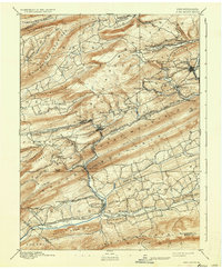
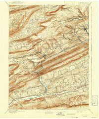
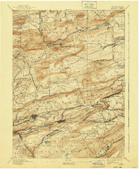
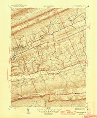
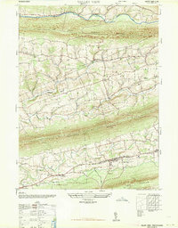
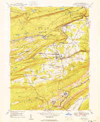
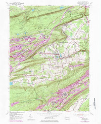
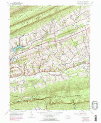
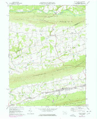
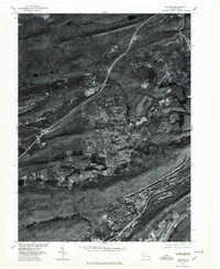
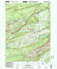
Minersville and its surrounding coal communities anchor the northeastern portion of this 1890s survey, illustrating a landscape deeply shaped by the anthracite industry. The geography is defined by a series of parallel ridges, including Sharp Mountain and Broad Mountain, which channel the numerous rail lines serving the collieries. This intricate transportation network, dominated by the Philadelphia and Reading Railroad and its many offshoots like the Orberry Branch P & R R R, connects industrial hubs like Tremont and Donaldson to the larger regional markets. To the south, the terrain shifts as the Swatara Creek flows through Pine Grove, where the Schuylkill and Susquehanna Branch railroad follows the valley floor. Settlement patterns here are distinctly tied to the geology, with mining towns like New Mines and Forestville clustered along the resource-rich ridges, while farming communities such as Hegins and Mabel occupy the broader valleys to the west.
Find a feature on this map
101 named features on this map. Tap any name to fly to it.
Don’t see what you’re looking for? This feature index may not catch every label — zoom into the map to look around manually.
Map Details
Editions of this 1892 Pinegrove Map
10 editions found

Historical Maps of Bethel Township Through Time
14 maps found

1892 Mahanoy
Schuylkill County, PA
1893 Mahanoy
Schuylkill County, PA
1946 Swatara Hill
Schuylkill County, PA
1947 Valley View
Schuylkill County, PA
1949 Delano
Schuylkill County, PA
1954 Delano
Schuylkill County, PA

1955 Mahanoy
Schuylkill County, PA
1955 Swatara Hill
Schuylkill County, PA
1969 Valley View
Schuylkill County, PA
1976 Delano
Schuylkill County, PA
1999 Delano
Schuylkill County, PA
2023 Delano
Schuylkill County, PA
2023 Swatara Hill
Schuylkill County, PA
2023 Valley View
Schuylkill County, PA