
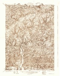
1930 Map of Warrensville
USGS Topo · Published 1930About this map
Loyalsock Creek carves a deep path through the highlands of Lycoming County, defining a landscape of isolated hollows and scattered upland farms in the early 20th century. The settlement at Montoursville anchors the southern valley, while smaller communities like Proctor and Barbours are tucked into the steep drainages of Plunketts Creek. The presence of Coal Mine Hollow and the Fire Tower on Tar Kiln Ridge highlights the regional reliance on natural resources and forestry management during this era.
Find a feature on this map
130 named features on this map. Tap any name to fly to it.
Don’t see what you’re looking for? This feature index may not catch every label — zoom into the map to look around manually.
Map Details
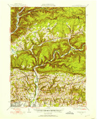
Editions of this 1930 Warrensville Map
3 editions found
Other maps of this area

1921 · Williamsport
USGS Topo · 1:48,000

1921 · Trout Run
USGS Topo · 1:62,500

1923 · Trout Run
USGS Topo · 1:62,500

1923 · Williamsport
USGS Topo · 1:62,500

1924 · Milton
USGS Topo · 1:62,500

1925 · Blossburg
USGS Topo · 1:62,500

1927 · Eagles Mere
USGS Topo · 1:48,000

1927 · Blossburg
USGS Topo · 1:62,500

1932 · Eagle Mere
USGS Topo · 1:62,500

1934 · Warrensville
USGS Topo · 1:62,500
Featured Places
- Williamsport, PA
- Faxon, Loyalsock Township
- Hillsgrove Township, PA
- Butternut Grove, Gamble Township
- North Eldred, Eldred Township