
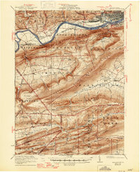
1923 Map of Williamsport
USGS Topo · Published 1923About this map
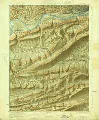
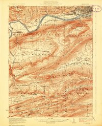
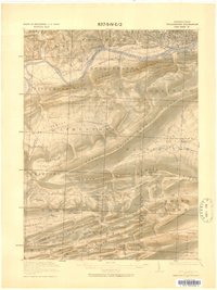
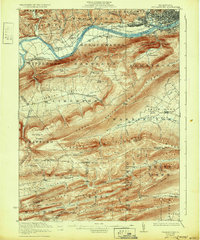
Williamsport and South Williamsport dominate the northern landscape of this 1923 survey, situated along the West Branch Susquehanna River. The map captures a transitional moment in regional transportation, documenting the Pennsylvania Canal (Abandoned) running parallel to the Central Railroad of Pennsylvania. South of the river, the terrain is defined by a succession of steep ridges including Bald Eagle Mountain and North White Deer Ridge, which separate isolated agricultural pockets like Nippenose Valley and Limestone Valley. Genealogists and local historians can locate early 20th-century rural infrastructure such as the Morgan Valley School, Bastress School, and Linden Sta. Deep in the southern ridges, landmarks like the Captain Greene Monument and several remote camps suggest the area's early development as a site for forestry and outdoor recreation.
Find a feature on this map
95 named features on this map. Tap any name to fly to it.
Don’t see what you’re looking for? This feature index may not catch every label — zoom into the map to look around manually.
Map Details
Editions of this 1923 Williamsport Map
6 editions found
Other maps of this area

1893 · Sunbury
USGS Topo · 1:62,500

1921 · Williamsport
USGS Topo · 1:48,000

1921 · Trout Run
USGS Topo · 1:62,500

1921 · Lock Haven
USGS Topo · 1:62,500

1923 · Lock Haven
USGS Topo · 1:62,500

1923 · Trout Run
USGS Topo · 1:62,500

1924 · Milton
USGS Topo · 1:62,500

1930 · Warrensville
USGS Topo · 1:62,500

1934 · Warrensville
USGS Topo · 1:62,500

1935 · Waterville
USGS Topo · 1:24,000
Featured Places
- Williamsport, PA
- White Deer Township, PA
- Garden View, Old Lycoming Township
- Duboistown, PA
- Bastress Township, PA