
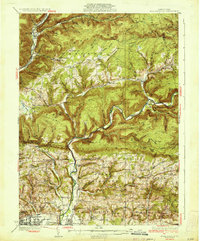
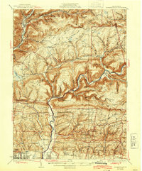
1934 Map of Warrensville
USGS Topo · Published 1934About this map
Loyalsock Creek carves a deep valley through this Lycoming County landscape, where the 1930s rural economy is defined by isolated settlements and a dense network of one-room schoolhouses. From the community of Warrensville to the remote logging and tanning outposts like Proctor and Barbours, the map reveals a highly localized social structure. The distribution of institutions like the Quaker Hill Sch, Fairfield Center Sch, and the Good Shepherd Ch illustrates the difficulty of travel through the steep terrain of Cove Mtn and Blessing Mtn.
Find a feature on this map
122 named features on this map. Tap any name to fly to it.
Don’t see what you’re looking for? This feature index may not catch every label — zoom into the map to look around manually.
Map Details
Editions of this 1934 Warrensville Map
3 editions found
Other maps of this area

1921 · Williamsport
USGS Topo · 1:48,000

1921 · Trout Run
USGS Topo · 1:62,500

1923 · Trout Run
USGS Topo · 1:62,500

1923 · Williamsport
USGS Topo · 1:62,500

1924 · Milton
USGS Topo · 1:62,500

1925 · Blossburg
USGS Topo · 1:62,500

1927 · Eagles Mere
USGS Topo · 1:48,000

1927 · Blossburg
USGS Topo · 1:62,500

1930 · Warrensville
USGS Topo · 1:62,500

1932 · Eagle Mere
USGS Topo · 1:62,500
Featured Places
- Williamsport, PA
- Faxon, Loyalsock Township
- Hillsgrove Township, PA
- Butternut Grove, Gamble Township
- North Eldred, Eldred Township