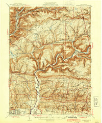
1934 Map of Warrensville
USGS Topo · Published 1944About this map
Loyalsock Creek and Lycoming Creek carve deep valleys through the high plateaus of Lycoming County, defining a landscape where narrow floodplains host the region's primary settlements and transport links. Along the western edge, the Pennsylvania RR follows the creek through Bodines and Marsh Hill, while the interior is dotted with a remarkably high density of rural schoolhouses and churches. These community centers, such as Chestnut Grove Sch, Butternut Grove Sch, and Wallis Run Ch, reveal a pattern of isolated mountain farming and timber communities that relied on localized infrastructure before the mid-century consolidation of school districts.
Find a feature on this map
122 named features on this map. Tap any name to fly to it.
Don’t see what you’re looking for? This feature index may not catch every label — zoom into the map to look around manually.
Map Details
Editions of this 1934 Warrensville Map
3 editions found

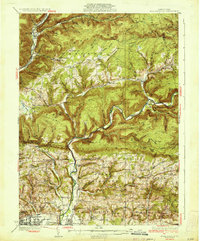
Other maps of this area

1921 · Williamsport
USGS Topo · 1:48,000

1921 · Trout Run
USGS Topo · 1:62,500

1923 · Trout Run
USGS Topo · 1:62,500

1923 · Williamsport
USGS Topo · 1:62,500

1924 · Milton
USGS Topo · 1:62,500

1925 · Blossburg
USGS Topo · 1:62,500

1927 · Eagles Mere
USGS Topo · 1:48,000

1927 · Blossburg
USGS Topo · 1:62,500

1930 · Warrensville
USGS Topo · 1:62,500

1932 · Eagle Mere
USGS Topo · 1:62,500
Featured Places
- Williamsport, PA
- Faxon, Loyalsock Township
- Hillsgrove Township, PA
- Butternut Grove, Gamble Township
- North Eldred, Eldred Township