
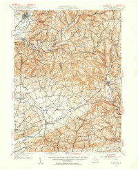
1953 Map of Hughesville
USGS Topo · Published 1956About this map
Hughesville sits at the northern edge of this Pennsylvania landscape, where the waters of Muncy Creek and Wolf Run meet. The 1953 revision reveals a network of rural school districts and small parish churches that defined community life in the mid-20th century. One can trace the transition from the dense street grids of Millville and Washingtonville to the scattered agrarian settlements of Jerseytown, Lairdsville, and Unityville.
Find a feature on this map
71 named features on this map. Tap any name to fly to it.
Don’t see what you’re looking for? This feature index may not catch every label — zoom into the map to look around manually.
Map Details
Editions of this 1953 Hughesville Map
Other maps of this area

1889 · Catawissa
USGS Topo · 1:62,500

1892 · Catawissa
USGS Topo · 1:62,500

1892 · Shamokin
USGS Topo · 1:62,500

1893 · Sunbury
USGS Topo · 1:62,500

1893 · Shamokin
USGS Topo · 1:62,500

1894 · Catawissa
USGS Topo · 1:62,500

1894 · Bloomsburg
USGS Topo · 1:62,500

1924 · Milton
USGS Topo · 1:62,500

1927 · Eagles Mere
USGS Topo · 1:48,000

1930 · Warrensville
USGS Topo · 1:62,500