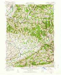
1953 Map of Hughesville
USGS Topo · Published 1962About this map
The waters of Muncy Creek and Little Muncy Creek define the northern valley of this mid-century landscape, where the borough of Hughesville sits as a primary hub. The terrain transitions from the high ridges of Sugar Hill and Dutch Hill into the fertile lowlands of the East Branch Chillisquaque Creek. This map captures a dense network of rural infrastructure just after the post-war era, characterized by numerous local schools serving isolated agricultural pockets, such as Clayhole Sch, Oak Grove Sch, and New California Sch. The southern portion of the sheet reveals the established villages of Washingtonville and Jerseytown, linked by a series of winding country roads that follow the drainage of Mud Creek. By 1953, the area remained deeply rooted in its traditional settlement patterns, with churches like Hendrickson Ch and small crossroads like Ritters Crossroads acting as central landmarks for the surrounding townships.
Find a feature on this map
78 named features on this map. Tap any name to fly to it.
Don’t see what you’re looking for? This feature index may not catch every label — zoom into the map to look around manually.
Map Details
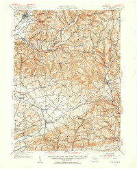
Editions of this 1953 Hughesville Map

Other maps of this area

1889 · Catawissa
USGS Topo · 1:62,500

1892 · Catawissa
USGS Topo · 1:62,500

1892 · Shamokin
USGS Topo · 1:62,500

1893 · Sunbury
USGS Topo · 1:62,500

1893 · Shamokin
USGS Topo · 1:62,500

1894 · Catawissa
USGS Topo · 1:62,500

1894 · Bloomsburg
USGS Topo · 1:62,500

1924 · Milton
USGS Topo · 1:62,500

1927 · Eagles Mere
USGS Topo · 1:48,000

1930 · Warrensville
USGS Topo · 1:62,500