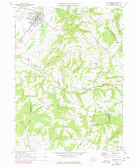
1968 Map of Hughesville
USGS Topo · Published 1978About this map
Hughesville serves as the primary population center of this mid-century landscape, characterized by the winding path of Muncy Creek and a network of rural settlements. The town core features the Fairgrounds and East Lycoming High Sch, while a series of smaller hamlets like Clarkstown and Moreland dot the rolling terrain to the south and east. The map captures a transition from concentrated borough life to a pastoral economy, where family and community landmarks such as Moreland Community Ch and Pleasant Hill Cem anchor the valleys.
Find a feature on this map
59 named features on this map. Tap any name to fly to it.
Don’t see what you’re looking for? This feature index may not catch every label — zoom into the map to look around manually.
Map Details
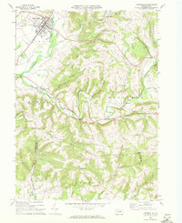
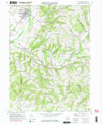
Editions of this 1968 Hughesville Map
Other maps of this area

1924 · Milton
USGS Topo · 1:62,500

1927 · Eagles Mere
USGS Topo · 1:48,000

1930 · Warrensville
USGS Topo · 1:62,500

1932 · Eagle Mere
USGS Topo · 1:62,500

1934 · Warrensville
USGS Topo · 1:62,500

1935 · Hughesville
USGS Topo · 1:62,500

1953 · Hughesville
USGS Topo · 1:62,500

1953 · Warrensville
USGS Topo · 1:62,500

1953 · Eagles Mere
USGS Topo · 1:62,500

1953 · Milton
USGS Topo · 1:62,500