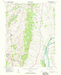
1952 Map of Waterford
USGS Topo · Published 1952About this map
Catoctin Mountain bisects this landscape, creating a dramatic physical divide between the agricultural lowlands near Waterford and the riparian corridor of the Potomac River. The mid-century transportation network is clearly defined, featuring the Washington and Old Dominion rail line as it passes through Paeonian Springs and Clarks Gap at the map's southern edge. Along the river, the historical footprint of the Chesapeake and Ohio Canal is visible on the Maryland bank, paralleling large river features like Harrison Island and Mason Island. Local community life is anchored by a series of country churches including Bethel Ch and Christ Ch, while the Balls Bluff National Cem provides a solemn historical landmark near the river bluffs. Small rural clusters like Stumptown, Lucketts, and Taylorstown dot the road network, illustrating the settlement patterns of Loudoun County before modern suburban expansion.
Find a feature on this map
31 named features on this map. Tap any name to fly to it.
Don’t see what you’re looking for? This feature index may not catch every label — zoom into the map to look around manually.
Map Details
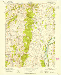
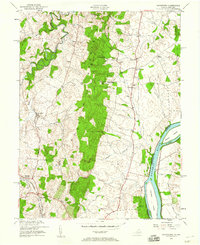
Editions of this 1952 Waterford Map
3 editions found
Other maps of this area

1884 · Harpers Ferry
USGS Topo · 1:125,000

1891 · Harpers Ferry
USGS Topo · 1:125,000

1893 · Frederick
USGS Topo · 1:125,000

1893 · Harpers Ferry
USGS Topo · 1:125,000

1894 · Frederick
USGS Topo · 1:125,000

1908 · Middletown
USGS Topo · 1:48,000

1908 · Seneca
USGS Topo · 1:62,500

1908 · Ijamsville
USGS Topo · 1:62,500

1909 · Ijamsville
USGS Topo · 1:62,500

1910 · Antietam
USGS Topo · 1:62,500