Loading...
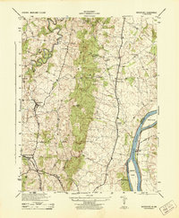
Loading map...1970 Map of Waterford
USGS Topo · Published 1984About this map
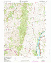
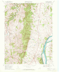
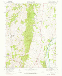
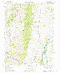
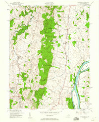
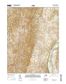
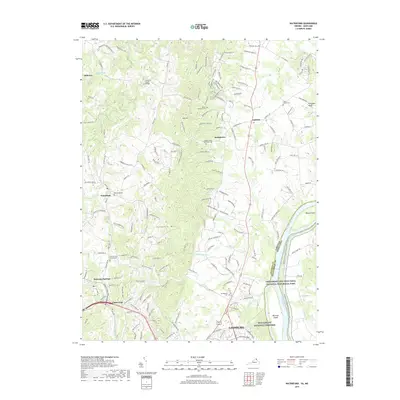
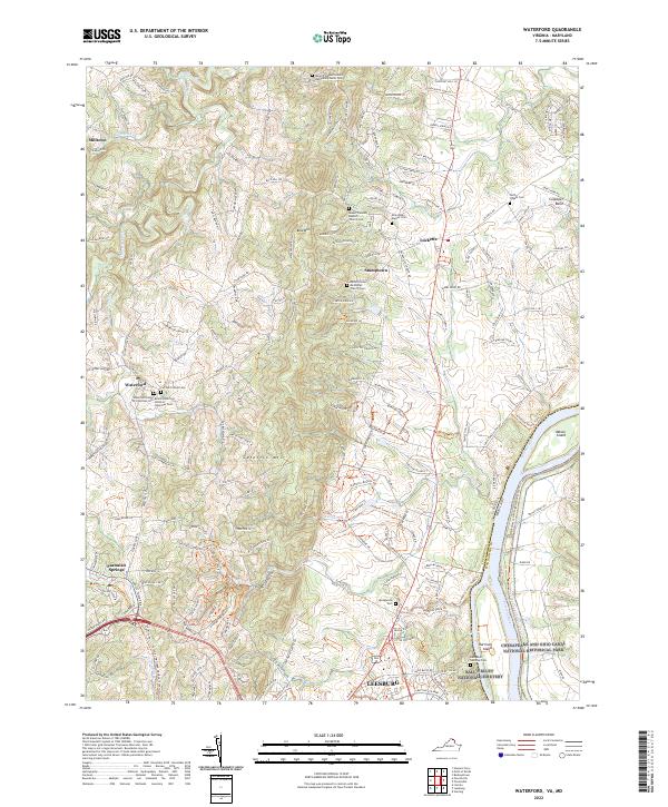
Catoctin Mountain dominates this landscape, forming a prominent north-south ridge that separates the agricultural valleys of Loudoun County. Along the western base of the ridge, the historic village of Waterford is clearly detailed, showing the layout of the settlement near the confluence of the North Fork and South Fork of Catoctin Creek. To the east, the Potomac River marks the border between Virginia and Maryland, shadowed by the Chesapeake and Ohio Canal National Historical Park.
Find a feature on this map
32 named features on this map. Tap any name to fly to it.
Don’t see what you’re looking for? This feature index may not catch every label — zoom into the map to look around manually.
Map Details
Date Portrayed1970
Date Published1984
PublisherU.S. Geological Survey
Map TypeTopographic
Scale1:24,000
Physical Dimensions22.1 x 26.9 inches
Editions of this 1970 Waterford Map
4 editions found
Historical Maps of Leesburg Through Time
8 maps found
Featured Locations
Source Details
SourceU.S. Geological Survey
CopyrightPublic Domain