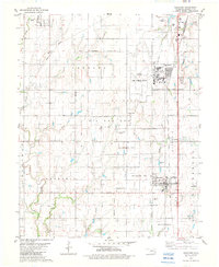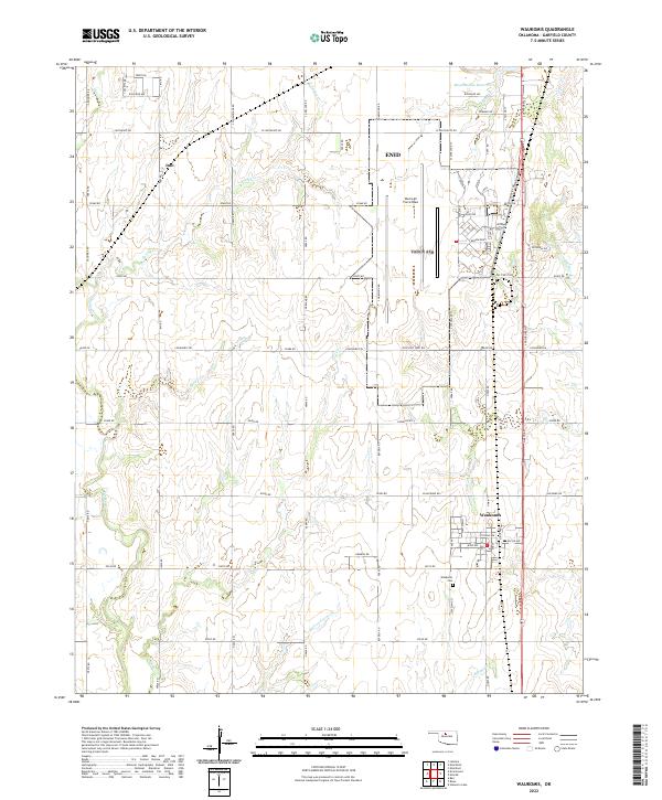
2022 Map of Waukomis
USGS Topo · Published 2022About this map
The southern outskirts of Enid and the community of Waukomis anchor this Garfield County landscape, defined by a transition from military infrastructure to open agricultural land. Centrally located, Vance Air Force Base occupies a significant footprint between the urban expansion of Enid and the rural township to the south. The terrain is drained by a network of named waterways including Spring Creek and the colorfully named Hell and Gone Creek, which flow through a grid of established section roads like Longhorn Trl and Skeleton Rd.
Find a feature on this map
63 named features on this map. Tap any name to fly to it.
Don’t see what you’re looking for? This feature index may not catch every label — zoom into the map to look around manually.
Map Details
Editions of this 2022 Waukomis Map
This is the sole edition of this map. No revisions or reprints were ever made.