2022 Map of Waverly
USGS Topo · Published 2022About this map
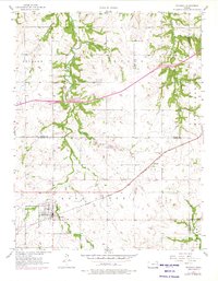
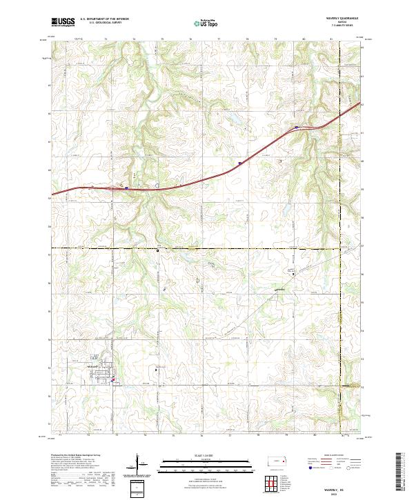
Waverly anchors the southwestern portion of this East-Central Kansas landscape, where the town grid intersects with historic routes like Old State Hwy 50. The surrounding terrain is defined by a dense network of watercourses, including the meandering Rock Creek and its namesake Rock Creek Cem, alongside Tequa Cr and Rocky Run. These streams cut through the undulating prairie, creating landforms like Lane Hollow and providing the drainage for a region long defined by agricultural land use and rural settlement.
Find a feature on this map
71 named features on this map. Tap any name to fly to it.
Don’t see what you’re looking for? This feature index may not catch every label — zoom into the map to look around manually.
Map Details
Editions of this 2022 Waverly Map
This is the sole edition of this map. No revisions or reprints were ever made.