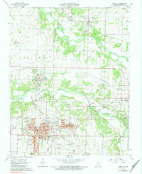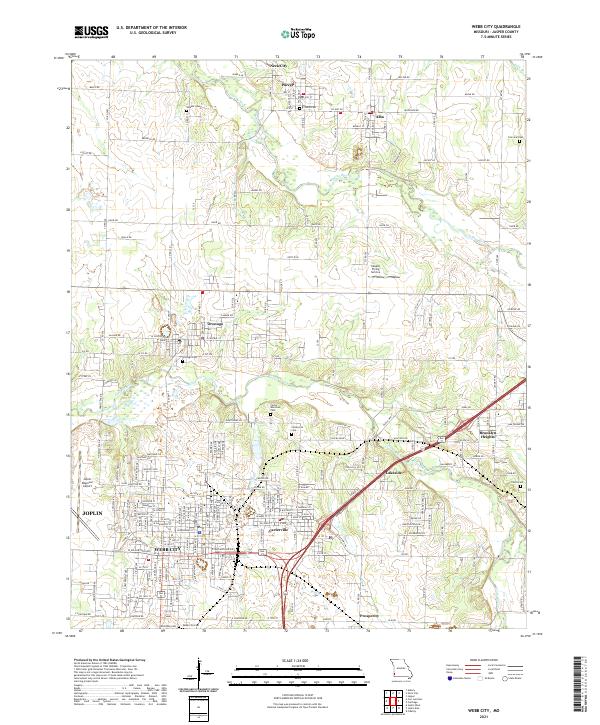
2021 Map of Webb City
USGS Topo · Published 2021About this map
Webb City and Carterville form the heart of this Jasper County landscape, where urban density meets the winding paths of Center Creek and Spring River. The map documents a complex network of local infrastructure, from the industrial proximity of the Joplin Regional Airport to the aviation history at the Cooper Flying Service field. Residential expansion is balanced by numerous legacy sites, including the Webb City Cem and Carter Memorial Cem, which serve as vital markers for local genealogical research. To the north, smaller communities like Neck City, Purcell, and Alba remain distinct settlements along the river's course. This modern survey reflects the enduring geography of the Missouri mining belt, where historic road names like Old 66 Blvd and Old 66 Hwy trace the path of iconic American travel through Oronogo and Lakeside.
Find a feature on this map
72 named features on this map. Tap any name to fly to it.
Don’t see what you’re looking for? This feature index may not catch every label — zoom into the map to look around manually.
Map Details
Editions of this 2021 Webb City Map
This is the sole edition of this map. No revisions or reprints were ever made.