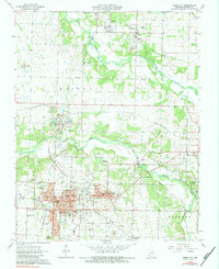
1963 Map of Webb City
USGS Topo · Published 1984About this map
Mining legacy dominates the landscape of Webb City and Carterville during the early 1960s, evidenced by the extensive tailings piles that surround these industrial hubs. This survey captures a dense network of civic and social life, from the Hatten Park Hospital and Mark Twain Sch to various neighborhood landmarks like the Drive-in Theater and Joplin Airport. The geography is defined by the Spring River and Center Creek, which divide the townships of Mineral and Jackson.
Find a feature on this map
43 named features on this map. Tap any name to fly to it.
Don’t see what you’re looking for? This feature index may not catch every label — zoom into the map to look around manually.
Map Details
Editions of this 1963 Webb City Map
2 editions found
Other maps of this area

1886 · Joplin
USGS Topo · 1:125,000

1886 · Carthage
USGS Topo · 1:125,000

1894 · Joplin
USGS Topo · 1:125,000

1894 · Carthage
USGS Topo · 1:125,000

1945 · Pittsburg
USGS Topo · 1:62,500

1947 · Joplin
USGS Topo · 1:250,000

1947 · Pittsburg
USGS Topo · 1:62,500

1949 · Joplin
USGS Topo · 1:250,000

1950 · Pittsburg
USGS Topo · 1:62,500

1954 · Joplin
USGS Topo · 1:250,000