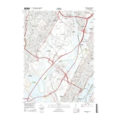
2014 Map of Weehawken
USGS Topo · Published 2014About this map
Teterboro Airport and the complex wetlands of the Hackensack River dominate this landscape, reflecting a densely developed corridor where industrial infrastructure meets the natural drainage of the Meadowlands. The map highlights the intensive transport network connecting the western side of the Hudson River to the New Jersey interior, featuring the Lincoln Tunnel and the Susquehanna and Western Tunnel. Genealogists will find an exceptional concentration of burial grounds, including the large Holy Cross Cem and Hoboken Cem, which serve the surrounding communities of Secaucus, North Bergen, and Passaic. The transition from the high ground of Kings Bluff down to the sea-level marshes is marked by engineered waterways like the Berrys Creek Canal and various sloughs, illustrating the long history of land reclamation and water management in this tidal region.
Find a feature on this map
88 named features on this map. Tap any name to fly to it.
Don’t see what you’re looking for? This feature index may not catch every label — zoom into the map to look around manually.
Map Details
Editions of this 2014 Weehawken Map
This is the sole edition of this map. No revisions or reprints were ever made.
Other maps of this area

1888 · Paterson
USGS Topo · 1:62,500

1889 · Brooklyn
USGS Topo · 1:62,500

1891 · Brooklyn
USGS Topo · 1:62,500

1891 · Harlem
USGS Topo · 1:62,500

1892 · Paterson
USGS Topo · 1:62,500

1897 · Harlem
USGS Topo · 1:62,500

1897 · Brooklyn
USGS Topo · 1:62,500

1898 · Harlem
USGS Topo · 1:62,500

1898 · Staten Island
USGS Topo · 1:62,500

1898 · Brooklyn
USGS Topo · 1:62,500