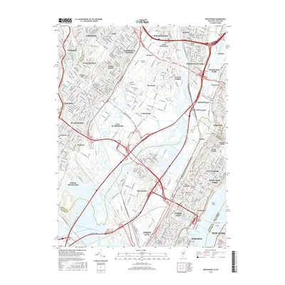
2016 Map of Weehawken
USGS Topo · Published 2016About this map
Teterboro Airport and its neighboring Teterboro Sch of Aeronautics dominate the central landscape of this highly developed corridor between the Passaic River and the Hudson River. The area is a complex network of industrial transit and historic burial grounds, reflecting the dense urbanization of Bergen and Hudson counties. Genealogists will find a significant concentration of cemeteries, including Flower Hill Cem, Macphelah Cem, and Mount Moriah Cem, clustered near the eastern heights.
Find a feature on this map
93 named features on this map. Tap any name to fly to it.
Don’t see what you’re looking for? This feature index may not catch every label — zoom into the map to look around manually.
Map Details
Editions of this 2016 Weehawken Map
This is the sole edition of this map. No revisions or reprints were ever made.
Other maps of this area

1888 · Paterson
USGS Topo · 1:62,500

1889 · Brooklyn
USGS Topo · 1:62,500

1891 · Brooklyn
USGS Topo · 1:62,500

1891 · Harlem
USGS Topo · 1:62,500

1892 · Paterson
USGS Topo · 1:62,500

1897 · Harlem
USGS Topo · 1:62,500

1897 · Brooklyn
USGS Topo · 1:62,500

1898 · Harlem
USGS Topo · 1:62,500

1898 · Staten Island
USGS Topo · 1:62,500

1898 · Brooklyn
USGS Topo · 1:62,500