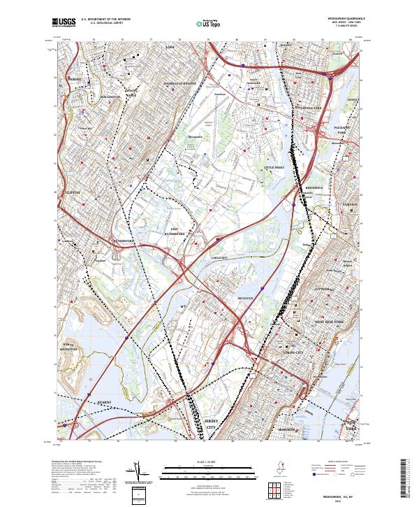
2023 Map of Weehawken
USGS Topo · Published 2023About this map
Teterboro Airport anchors the center of this landscape, surrounded by a dense network of industrial corridors and residential boroughs in Bergen and Hudson Counties. The transition from the tidal wetlands of Eight Day Swamp and Walden Swamp to the highly developed urban centers of Passaic and Union City is starkly visible. The Hackensack River and Passaic River dominate the drainage of the region, with the Berrys Creek Canal and various reaches cutting through the meadows near Secaucus. Genealogists and local researchers will find a significant concentration of burial grounds, including the Mount Moriah Jewish Cem, Holy Cross Cem, and Grove Church Cem. Infrastructure defines the eastern edge, where the Lincoln Tunl connects the New Jersey shore to Manhattan across the Hudson River.
Find a feature on this map
104 named features on this map. Tap any name to fly to it.
Don’t see what you’re looking for? This feature index may not catch every label — zoom into the map to look around manually.
Map Details
Editions of this 2023 Weehawken Map
This is the sole edition of this map. No revisions or reprints were ever made.
Other maps of this area

1888 · Paterson
USGS Topo · 1:62,500

1889 · Brooklyn
USGS Topo · 1:62,500

1891 · Brooklyn
USGS Topo · 1:62,500

1891 · Harlem
USGS Topo · 1:62,500

1892 · Paterson
USGS Topo · 1:62,500

1897 · Harlem
USGS Topo · 1:62,500

1897 · Brooklyn
USGS Topo · 1:62,500

1898 · Harlem
USGS Topo · 1:62,500

1898 · Staten Island
USGS Topo · 1:62,500

1898 · Brooklyn
USGS Topo · 1:62,500