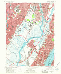
1967 Map of Weehawken
USGS Topo · Published 1968About this map
Teterboro Airport and the surrounding marshlands of Eight Day Swamp and Walden Swamp anchor this industrial and residential landscape of northern New Jersey in the late 1960s. The dense corridor between the Hackensack River and Passaic River shows a complex web of infrastructure, from the Secaucus Station on the Penn Central line to the extensive Croxton Yards. In the east, the map captures the steep transition from the Hudson River at Weehawken Cove up to Kings Bluff, where urban centers like Union City and Weehawken overlook the river. Numerous cultural landmarks are visible, including St Michaels Monastery, Fairleigh Dickinson University, and several large burial grounds like Grove Church Cem and Flower Hill Cem. A notable concentration of communications infrastructure is marked by numerous Radio Towers including Wins, Wado, and WHN scattered throughout the meadowlands.
Find a feature on this map
126 named features on this map. Tap any name to fly to it.
Don’t see what you’re looking for? This feature index may not catch every label — zoom into the map to look around manually.
Map Details
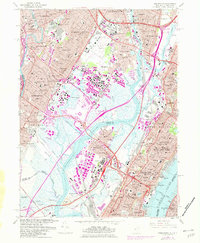
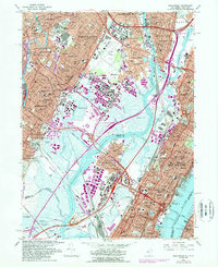
Editions of this 1967 Weehawken Map
3 editions found
Other maps of this area

1888 · Paterson
USGS Topo · 1:62,500

1889 · Brooklyn
USGS Topo · 1:62,500

1891 · Brooklyn
USGS Topo · 1:62,500

1891 · Harlem
USGS Topo · 1:62,500

1892 · Paterson
USGS Topo · 1:62,500

1897 · Harlem
USGS Topo · 1:62,500

1897 · Brooklyn
USGS Topo · 1:62,500

1898 · Harlem
USGS Topo · 1:62,500

1898 · Staten Island
USGS Topo · 1:62,500

1898 · Brooklyn
USGS Topo · 1:62,500