2022 Map of Wellington
USGS Topo · Published 2022About this map
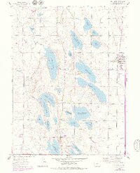
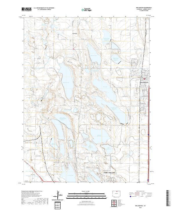
Larimer County’s agricultural and hydraulic engineering history is on display here, defined by a complex network of irrigation infrastructure essential to the Front Range. The landscape is characterized by a high density of water storage and transport systems, such as the Poudre Valley Canal and the Larimer County Canal, which feed numerous named reservoirs. Significant water bodies include the expansive Windsor Reservoir, Terry Lake, and the series of reservoirs managed by the North Poudre system.
Find a feature on this map
139 named features on this map. Tap any name to fly to it.
Don’t see what you’re looking for? This feature index may not catch every label — zoom into the map to look around manually.
Map Details
Editions of this 2022 Wellington Map
This is the sole edition of this map. No revisions or reprints were ever made.