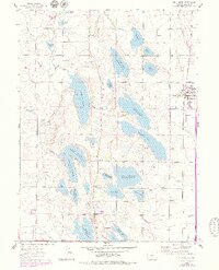
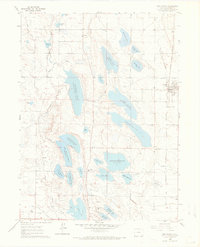
1960 Map of Wellington
USGS Topo · Published 1979About this map
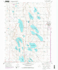
Wellington and the surrounding Larimer County plains appear here as a complex landscape of early 20th-century water management, defined by the extensive North Poudre Canal and dozens of named storage basins. The town itself is positioned along the Colorado and Southern Railroad, featuring the Wellington Siding and a grid of streets that stood as the area's primary commercial hub. Rural life centers on small junctions and landmarks like Waverly, Meyers Corner, and the Rocky Ridge Sch, reflecting a settlement pattern tied to the irrigation economy.
Find a feature on this map
49 named features on this map. Tap any name to fly to it.
Don’t see what you’re looking for? This feature index may not catch every label — zoom into the map to look around manually.
Map Details
Editions of this 1960 Wellington Map
6 editions found
Other maps of this area

1906 · Fort Collins
USGS Topo · 1:62,500

1907 · Livermore
USGS Topo · 1:125,000

1908 · Fort Collins
USGS Topo · 1:62,500

1908 · Eaton
USGS Topo · 1:125,000

1909 · Livermore
USGS Topo · 1:125,000

1910 · Eaton
USGS Topo · 1:125,000

1954 · Greeley
USGS Topo · 1:250,000

1957 · Greeley
USGS Topo · 1:250,000

1958 · Greeley
USGS Topo · 1:250,000

1960 · Livermore
USGS Topo · 1:24,000