
1960 Map of Livermore
USGS Topo · Published 1962About this map
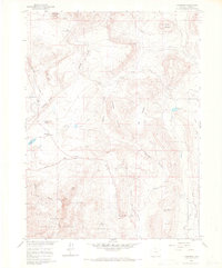
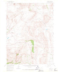
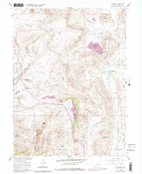
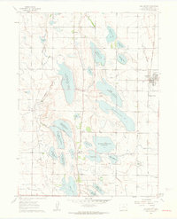
Livermore serves as a central point in this northern Colorado landscape, situated where the Red Feather Lakes Road meets the Colorado And Southern line. The area is characterized by a mix of agricultural ranching and industrial extraction, evident in family-named landmarks like Spring Hill Ranch and Rufner Camp alongside the Rex Quarry and Roberts Quarry. A significant archaeological site, the Folsom Point Discovery, points to the deep human history of this terrain. To the south, the Roosevelt National Forest boundary encompasses the winding Cache la Poudre River and Eagles Nest. Water management is prominent through features like the North Poudre Ditch and Park Creek Reservoir, which supported the region's development during the mid-20th century.
Find a feature on this map
43 named features on this map. Tap any name to fly to it.
Don’t see what you’re looking for? This feature index may not catch every label — zoom into the map to look around manually.
Map Details
Editions of this 1960 Livermore Map
4 editions found
Other maps of this area

1906 · Fort Collins
USGS Topo · 1:62,500

1907 · Livermore
USGS Topo · 1:125,000

1908 · Fort Collins
USGS Topo · 1:62,500

1909 · Livermore
USGS Topo · 1:125,000

1954 · Greeley
USGS Topo · 1:250,000

1957 · Greeley
USGS Topo · 1:250,000

1958 · Greeley
USGS Topo · 1:250,000
1960 · Buckeye
USGS Topo · 1:24,000
1960 · Wellington
USGS Topo · 1:24,000

1960 · Livermore Mountain
USGS Topo · 1:24,000