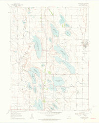
1960 Map of Wellington
USGS Topo · Published 1963About this map
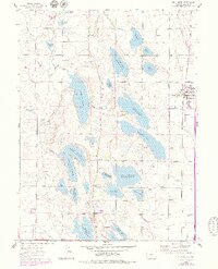
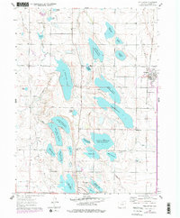
The agricultural landscape of Larimer County is defined here by an intricate network of irrigation and water storage, recorded at the dawn of the 1960s. Wellington serves as a central hub, supported by the Burlington and Colorado and Southern railroads, including the distinct Wellington Siding. To the west, the community of Waverly sits near the North Poudre Canal, illustrating the vital role of engineering in this semi-arid region. The map reveals a dense concentration of reservoirs, such as Douglass Lake Reservoir No 10, Bee Lake Reservoir No 5, and the expansive Windsor Reservoir Divide No 8. Rural life is marked by local landmarks like Rocky Ridge Sch and established crossroads such as Meyers Corner and Kenyon Corner, providing essential geographic anchors for genealogists and local historians.
Find a feature on this map
49 named features on this map. Tap any name to fly to it.
Don’t see what you’re looking for? This feature index may not catch every label — zoom into the map to look around manually.
Map Details
Editions of this 1960 Wellington Map
6 editions found
Other maps of this area

1906 · Fort Collins
USGS Topo · 1:62,500

1907 · Livermore
USGS Topo · 1:125,000

1908 · Fort Collins
USGS Topo · 1:62,500

1908 · Eaton
USGS Topo · 1:125,000

1909 · Livermore
USGS Topo · 1:125,000

1910 · Eaton
USGS Topo · 1:125,000

1954 · Greeley
USGS Topo · 1:250,000

1957 · Greeley
USGS Topo · 1:250,000

1958 · Greeley
USGS Topo · 1:250,000

1960 · Livermore
USGS Topo · 1:24,000