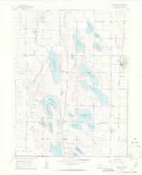
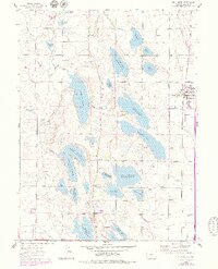
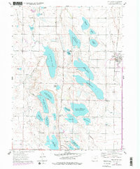
1960 Map of Wellington
USGS Topo · Published 1963About this map
Wellington stands as a primary rail-side hub in this 1960 Larimer County survey, defined by its position at the intersection of the Burlington and Colorado and Southern railroad lines. The surrounding landscape reveals an intricate irrigation and water storage network essential to High Plains agriculture, featuring a dense concentration of reservoirs including Douglass Lake Reservoir No 10, Bee Lake Reservoir No 5, and Terry Lake. Smaller rural clusters such as Waverly and crossings like Meyers Corner serve as anchors for the farming community. Education in the outlying districts is centered at sites like Rocky Ridge Sch and Dist No 35 Sch. The presence of the Union Pacific tracks running parallel to Dry Creek illustrates the era's reliance on rail transport to connect these agricultural outposts to larger markets like Fort Collins.
Find a feature on this map
46 named features on this map. Tap any name to fly to it.
Don’t see what you’re looking for? This feature index may not catch every label — zoom into the map to look around manually.
Map Details
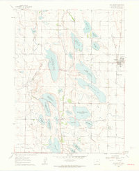
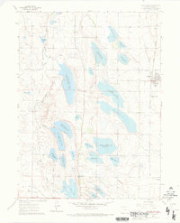
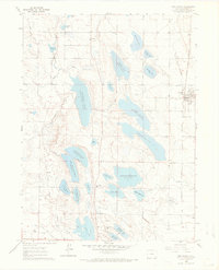
Editions of this 1960 Wellington Map
6 editions found
Other maps of this area

1906 · Fort Collins
USGS Topo · 1:62,500

1907 · Livermore
USGS Topo · 1:125,000

1908 · Fort Collins
USGS Topo · 1:62,500

1908 · Eaton
USGS Topo · 1:125,000

1909 · Livermore
USGS Topo · 1:125,000

1910 · Eaton
USGS Topo · 1:125,000

1954 · Greeley
USGS Topo · 1:250,000

1957 · Greeley
USGS Topo · 1:250,000

1958 · Greeley
USGS Topo · 1:250,000

1960 · Livermore
USGS Topo · 1:24,000