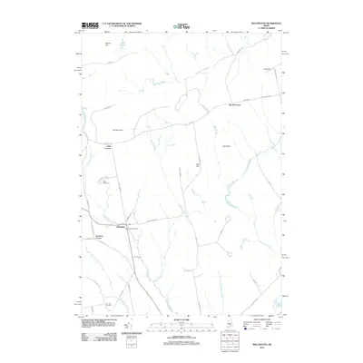
2011 Map of Wellington
USGS Topo · Published 2011About this map
Wellington serves as the central hub of this Somerset County landscape, defined by a network of intersecting country roads and scattered family settlements. The community includes the Wellington Post Office, while outlying areas are marked by several corners, including Huff Corner, Burdin Corner, and Hutchins Corner. These named intersections reflect the rural heritage of the region, where family homesteads established nodes of local activity.
Find a feature on this map
54 named features on this map. Tap any name to fly to it.
Don’t see what you’re looking for? This feature index may not catch every label — zoom into the map to look around manually.
Map Details
Editions of this 2011 Wellington Map
This is the sole edition of this map. No revisions or reprints were ever made.
Other maps of this area

1913 · Skowhegan
USGS Topo · 1:62,500

1930 · Pittsfield
USGS Topo · 1:48,000

1932 · Pittsfield
USGS Topo · 1:62,500

1933 · Pittsfield
USGS Topo · 1:62,500

1933 · Guilford
USGS Topo · 1:62,500

1937 · Guilford
USGS Topo · 1:62,500

1948 · Bangor
USGS Topo · 1:250,000

1948 · Kingsbury
USGS Topo · 1:62,500

1950 · Kingsbury
USGS Topo · 1:62,500

1954 · Millinocket
USGS Topo · 1:250,000