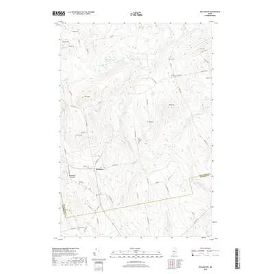
2018 Map of Wellington
USGS Topo · Published 2018About this map
Wellington anchors this 2018 survey, positioned at the intersection of a sprawling network of stream valleys and timbered highlands along the boundary of Piscataquis and Somerset counties. The landscape is defined by its extensive wetlands, including Wellington Bog, Ham Bog, and Lily Bog, which drain into the winding courses of Higgins Stream and Buzzell Brook. These waterways have historically dictated the placement of early settlements and road networks that navigate the steep rises of Huff Mtn and Cowett Hill.
Find a feature on this map
75 named features on this map. Tap any name to fly to it.
Don’t see what you’re looking for? This feature index may not catch every label — zoom into the map to look around manually.
Map Details
Editions of this 2018 Wellington Map
This is the sole edition of this map. No revisions or reprints were ever made.
Other maps of this area

1913 · Skowhegan
USGS Topo · 1:62,500

1930 · Pittsfield
USGS Topo · 1:48,000

1932 · Pittsfield
USGS Topo · 1:62,500

1933 · Pittsfield
USGS Topo · 1:62,500

1933 · Guilford
USGS Topo · 1:62,500

1937 · Guilford
USGS Topo · 1:62,500

1948 · Bangor
USGS Topo · 1:250,000

1948 · Kingsbury
USGS Topo · 1:62,500

1950 · Kingsbury
USGS Topo · 1:62,500

1954 · Millinocket
USGS Topo · 1:250,000