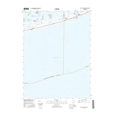
2016 Map of West Gilgo Beach
USGS Topo · Published 2016About this map
Jones Beach Island stretches across this coastal landscape, serving as a critical barrier between the open Atlantic Ocean and the sheltered waters of Hempstead Bay and South Oyster Bay. The 2016 survey details the sparse, linear settlements of West Gilgo Beach and Gilgo Beach, which are connected by the iconic Ocean Pkwy. These communities are defined by their proximity to the water, with narrow footpaths like Cottage Walk and local roads such as Broadway providing access to the shore.
Find a feature on this map
37 named features on this map. Tap any name to fly to it.
Don’t see what you’re looking for? This feature index may not catch every label — zoom into the map to look around manually.
Map Details
Editions of this 2016 West Gilgo Beach Map
This is the sole edition of this map. No revisions or reprints were ever made.
Other maps of this area

1897 · Hempstead
USGS Topo · 1:62,500

1898 · Hempstead
USGS Topo · 1:62,500

1899 · Hempstead
USGS Topo · 1:62,500

1901 · Babylon
USGS Topo · 1:62,500

1903 · Babylon
USGS Topo · 1:62,500

1903 · Hempstead
USGS Topo · 1:62,500

1904 · Islip
USGS Topo · 1:125,000
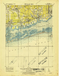
1919 · Babylon
USGS Topo · 1:62,500
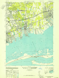
1941 · Bay Shore West
USGS Topo · 1:24,000

1942 · Islip
USGS Topo · 1:125,000