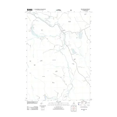
2012 Map of West Milan
USGS Topo · Published 2012About this map
The Upper Ammonoosuc River carves a winding path through this corner of Coos County, defining the settlement patterns of West Milan and Crystal. These communities sit at the junction of critical mountain waterways and road networks like Old Route 110. The landscape is dominated by high-elevation landmarks and significant ponds, such as South Ponds in the northwest and Cedar Pond to the east.
Find a feature on this map
71 named features on this map. Tap any name to fly to it.
Don’t see what you’re looking for? This feature index may not catch every label — zoom into the map to look around manually.
Map Details
Editions of this 2012 West Milan Map
This is the sole edition of this map. No revisions or reprints were ever made.
Other maps of this area

1893 · Mt. Washington
USGS Topo · 1:62,500

1893 · Gorham
USGS Topo · 1:62,500

1896 · Mt. Washington
USGS Topo · 1:62,500

1896 · Gorham
USGS Topo · 1:62,500

1930 · Milan
USGS Topo · 1:62,500

1930 · Percy
USGS Topo · 1:62,500

1933 · Milan
USGS Topo · 1:62,500

1934 · Percy
USGS Topo · 1:62,500

1934 · Milan
USGS Topo · 1:62,500

1935 · Mt. Washington
USGS Topo · 1:62,500