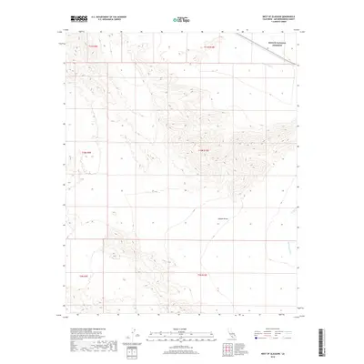
2018 Map of West of Glasgow
USGS Topo · Published 2018About this map
Mojave National Preserve encompasses the northeastern portion of this desert landscape in San Bernardino County, where high-elevation topography gives way to the lower reaches of the Mojave Desert. The map reveals a drainage network characterized by seasonal watercourses like Kelso Wash and Budweiser Wash, which carve through the arid terrain. The land is organized by the Public Land Survey System grid, shown through several township and range boundaries including t11n r10e and t10n r9e. This 2018 survey provides an essential look at the undeveloped expanse of the High Desert before more modern ecological shifts, detailing the intricate contour lines that define the region's isolated peaks and alluvial fans.
Find a feature on this map
10 named features on this map. Tap any name to fly to it.
Don’t see what you’re looking for? This feature index may not catch every label — zoom into the map to look around manually.
Map Details
Editions of this 2018 West of Glasgow Map
This is the sole edition of this map. No revisions or reprints were ever made.
Other maps of this area

1910 · Ivanpah
USGS Topo · 1:250,000

1912 · Ivanpah
USGS Topo · 1:250,000

1933 · Avawatz Mountains
USGS Topo · 1:250,000

1942 · Ivanpah
USGS Topo · 1:250,000

1942 · Amboy
USGS Topo · 1:250,000

1943 · Amboy
USGS Topo · 1:250,000

1947 · Trona
USGS Topo · 1:250,000

1947 · Kingman
USGS Topo · 1:250,000

1948 · Kingman
USGS Topo · 1:250,000

1948 · Trona
USGS Topo · 1:250,000