Loading...
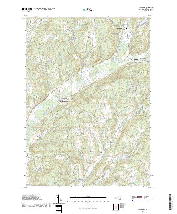
Loading map...2023 Map of Westford
USGS Topo · Published 2023About this map
Cherry Valley Creek and its many tributaries, including Shellrock Creek and Elk Creek, define the drainage patterns of this Otsego County landscape. The area is characterized by high ridges such as Darling Hill and secluded valleys like Hubbel Hollow, where small settlements historically developed along the watercourses. The village of Westford serves as a central point, home to the Westford Congregational Church Cem and Westford Cem.
Find a feature on this map
96 named features on this map. Tap any name to fly to it.
Don’t see what you’re looking for? This feature index may not catch every label — zoom into the map to look around manually.
Map Details
Date Portrayed2023
Date Published2023
PublisherU.S. Geological Survey
Map TypeTopographic
Scale1:24000
Physical Dimensions24 x 29 inches
Editions of this 2023 Westford Map
This is the sole edition of this map. No revisions or reprints were ever made.
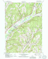
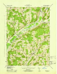
Historical Maps of Middlefield Through Time
3 maps found
Featured Locations
Source Details
SourceU.S. Geological Survey
CopyrightPublic Domain