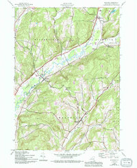
1943 Map of Westford
USGS Topo · Published 1994About this map
Cherry Valley Creek meanders through the central valley of this Otsego County landscape, serving as a primary drainage for the surrounding uplands during the mid-twentieth century. The settlement pattern is defined by small, concentrated hamlets like Westford and Middlefield, which are linked by roads following the natural contours of the valley floors. In the northern reaches, Roseboom and Pleasant Brook sit near the headwaters of Pleasant Brook, while Belvedere Lake anchors the northeastern corner.
Find a feature on this map
25 named features on this map. Tap any name to fly to it.
Don’t see what you’re looking for? This feature index may not catch every label — zoom into the map to look around manually.
Map Details
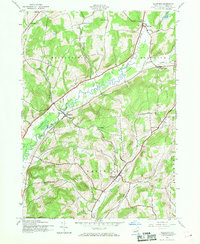
Editions of this 1943 Westford Map
3 editions found

Other maps of this area

1898 · Canajoharie
USGS Topo · 1:62,500

1900 · Canajoharie
USGS Topo · 1:62,500

1902 · Canajoharie
USGS Topo · 1:62,500

1903 · Richfield Springs
USGS Topo · 1:62,500

1904 · Richmondville
USGS Topo · 1:62,500

1907 · Cooperstown
USGS Topo · 1:62,500

1909 · Cooperstown
USGS Topo · 1:62,500

1943 · Milford
USGS Topo · 1:24,000

1943 · South Valley
USGS Topo · 1:24,000

1943 · Richfield Springs
USGS Topo · 1:24,000