
1943 Map of Milford
USGS Topo · Published 1953About this map
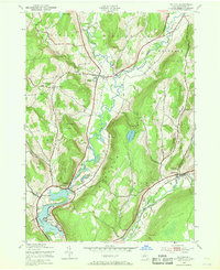
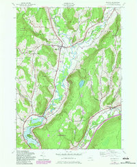
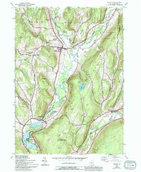
The Susquehanna River valley defines the character of this central Otsego County landscape during the early 1940s. The river's winding course is shadowed by the Delaware and Hudson railroad and highway network, connecting established valley settlements like Milford and Portlandville. In the upland reaches, smaller hamlets and rural schoolhouses such as School No 2 and School No 3 suggest a community structure still largely tied to the terrain, with several family-named burial grounds like Waters Cem and Platt Cem marking early homesteads. Dramatic elevation shifts are recorded between the low riverbanks and the heights of Crumhorn Mountain, where Crumhorn Lake sits perched above the valley floor. To the south, the expansion of the river into Goodyear Lake at Cliffside illustrates the managed hydrology of the era, while the eastern edge of the survey captures the convergence of the Schenevus Creek valley near Maryland.
Find a feature on this map
40 named features on this map. Tap any name to fly to it.
Don’t see what you’re looking for? This feature index may not catch every label — zoom into the map to look around manually.
Map Details
Editions of this 1943 Milford Map
4 editions found
Other maps of this area

1907 · Cooperstown
USGS Topo · 1:62,500

1909 · Cooperstown
USGS Topo · 1:62,500

1909 · Delhi
USGS Topo · 1:62,500

1910 · Hartwick
USGS Topo · 1:62,500

1911 · Delhi
USGS Topo · 1:62,500

1912 · Hartwick
USGS Topo · 1:62,500

1915 · Oneonta
USGS Topo · 1:62,500

1918 · Oneonta
USGS Topo · 1:62,500

1943 · Mt Vision
USGS Topo · 1:24,000

1943 · Westford
USGS Topo · 1:24,000