
1943 Map of South Valley
USGS Topo · Published 1954About this map
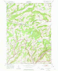
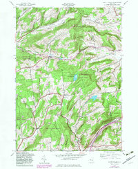
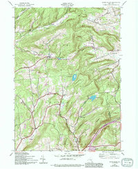
South Valley and several outlying rural hamlets define this 1940s landscape in eastern Otsego County. The area shows a high density of rural infrastructure from an earlier era, including numerous one-room schoolhouses like School No 1 and School No 4. The southern edge of the map is dominated by the transportation corridor of the Delaware and Hudson railroad, which passes through East Worcester near Calcutta. The terrain is marked by steep ridges and hollows, such as Honey Hill and Winnie Hollow, which historically dictated the placement of small settlements and family cemeteries. Genealogists can locate several named burial grounds, including Sissum Cem and Ferris Cem, while local historians can trace the paths of old township lines for Roseboom, Decatur, and Worcester.
Find a feature on this map
43 named features on this map. Tap any name to fly to it.
Don’t see what you’re looking for? This feature index may not catch every label — zoom into the map to look around manually.
Map Details
Editions of this 1943 South Valley Map
4 editions found
Other maps of this area

1898 · Canajoharie
USGS Topo · 1:62,500

1900 · Canajoharie
USGS Topo · 1:62,500

1902 · Canajoharie
USGS Topo · 1:62,500

1903 · Richfield Springs
USGS Topo · 1:62,500

1904 · Richmondville
USGS Topo · 1:62,500

1907 · Cooperstown
USGS Topo · 1:62,500

1909 · Cooperstown
USGS Topo · 1:62,500

1943 · Sharon Springs
USGS Topo · 1:24,000
1943 · Sprout Brook
USGS Topo · 1:24,000

1943 · Westford
USGS Topo · 1:24,000