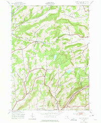
1943 Map of South Valley
USGS Topo · Published 1975About this map
Agricultural valleys and timbered ridges define this 1943 topographic study of the Otsego and Schoharie County border. The landscape is dotted with small rural hamlets and family-named corners, including South Valley, Decatur, and Gothicville. The southern edge of the sheet is anchored by the And Delaware Hudson rail corridor, which follows the path of Brooker Hollow through East Worcester.
Find a feature on this map
49 named features on this map. Tap any name to fly to it.
Don’t see what you’re looking for? This feature index may not catch every label — zoom into the map to look around manually.
Map Details
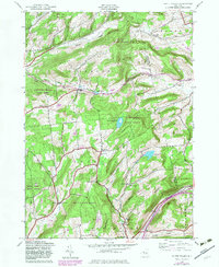
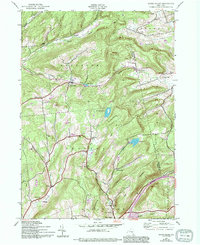
Editions of this 1943 South Valley Map
4 editions found
Other maps of this area

1898 · Canajoharie
USGS Topo · 1:62,500

1900 · Canajoharie
USGS Topo · 1:62,500

1902 · Canajoharie
USGS Topo · 1:62,500

1903 · Richfield Springs
USGS Topo · 1:62,500

1904 · Richmondville
USGS Topo · 1:62,500

1907 · Cooperstown
USGS Topo · 1:62,500

1909 · Cooperstown
USGS Topo · 1:62,500

1943 · South Valley
USGS Topo · 1:24,000

1943 · Sharon Springs
USGS Topo · 1:24,000
1943 · Sprout Brook
USGS Topo · 1:24,000