Loading...
Loading map...2024 Map of Westminster
USGS Topo · Published 2024About this map
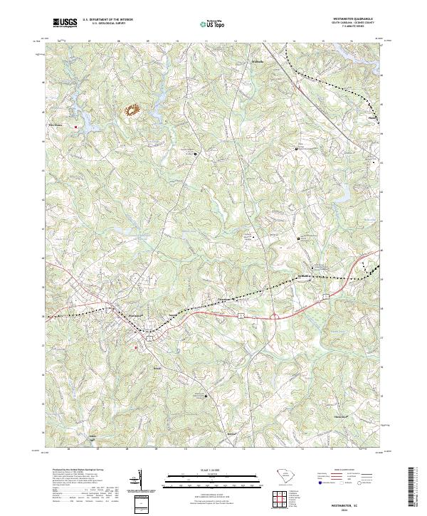
Westminster serves as the primary hub for this Oconee County landscape, where the foothills terrain is marked by a high concentration of historic community spaces and family burial grounds. The map reveals a social geography defined by its churches, including the Pleasant Hill Baptist Church Graveyard and Richland Presbyterian Church Graveyard, which anchor smaller surrounding settlements like Clearmont and Richland.
Find a feature on this map
207 named features on this map. Tap any name to fly to it.
Don’t see what you’re looking for? This feature index may not catch every label — zoom into the map to look around manually.
Map Details
Date Portrayed2024
Date Published2024
PublisherU.S. Geological Survey
Map TypeTopographic
Scale1:24000
Physical Dimensions24 x 29 inches
Editions of this 2024 Westminster Map
This is the sole edition of this map. No revisions or reprints were ever made.
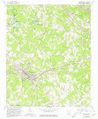
Historical Maps of Oconee Estates Through Time
Featured Locations
Source Details
SourceU.S. Geological Survey
CopyrightPublic Domain