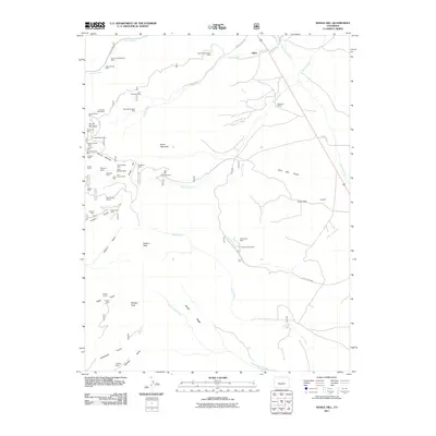
2011 Map of Whale Hill
USGS Topo · Published 2011About this map
Whale Hill and Mount Manitou anchor a landscape defined by an extensive history of resource extraction in Saguache County. This 2011 survey illustrates a complex network of mining claims concentrated along the western slopes, where operations like the Whale Mine, Colorado Belle Mine, and Antoro Shaft once sought precious ores. The terrain is deeply incised by numerous gulches such as Wild Bill Gulch and Turquoise Gulch, which reveal the geological character of the district. Near the headwaters of Peterson Creek, the Hall Turquoise Mine and Villa Grove Mine stand as significant markers of the area's mineral diversity.
Find a feature on this map
60 named features on this map. Tap any name to fly to it.
Don’t see what you’re looking for? This feature index may not catch every label — zoom into the map to look around manually.
Map Details
Editions of this 2011 Whale Hill Map
This is the sole edition of this map. No revisions or reprints were ever made.
Other maps of this area

1954 · Pueblo
USGS Topo · 1:250,000

1956 · Montrose
USGS Topo · 1:250,000

1957 · Pueblo
USGS Topo · 1:250,000

1958 · Pueblo
USGS Topo · 1:250,000

1959 · Montrose
USGS Topo · 1:250,000

1959 · Bonanza
USGS Topo · 1:62,500

1959 · Howard
USGS Topo · 1:62,500

1960 · Montrose
USGS Topo · 1:250,000

1962 · Pueblo
USGS Topo · 1:250,000

1966 · Pueblo
USGS Topo · 1:250,000