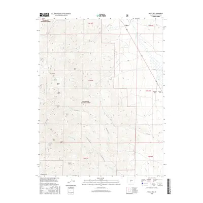
2016 Map of Whale Hill
USGS Topo · Published 2016About this map
Rio Grande National Forest and San Isabel National Forest dominate this high-altitude landscape in Saguache County, where the Continental Divide separates vast drainage basins. The area is defined by sharp vertical relief, with prominent summits including Whale Hill, Mt Manitou, and Elkhorn Peak providing distinct landmarks. A network of gulches such as Rawley Gulch, Copper Gulch, and Chloride Gulch cut through the terrain, historically associated with the region's mineral exploration.
Find a feature on this map
38 named features on this map. Tap any name to fly to it.
Don’t see what you’re looking for? This feature index may not catch every label — zoom into the map to look around manually.
Map Details
Editions of this 2016 Whale Hill Map
This is the sole edition of this map. No revisions or reprints were ever made.
Other maps of this area

1954 · Pueblo
USGS Topo · 1:250,000

1956 · Montrose
USGS Topo · 1:250,000

1957 · Pueblo
USGS Topo · 1:250,000

1958 · Pueblo
USGS Topo · 1:250,000

1959 · Montrose
USGS Topo · 1:250,000

1959 · Bonanza
USGS Topo · 1:62,500

1959 · Howard
USGS Topo · 1:62,500

1960 · Montrose
USGS Topo · 1:250,000

1962 · Pueblo
USGS Topo · 1:250,000

1966 · Pueblo
USGS Topo · 1:250,000