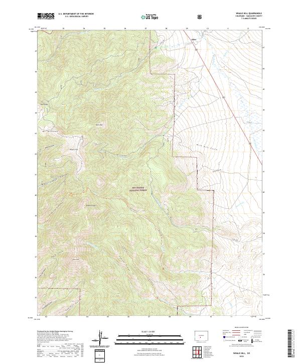
2022 Map of Whale Hill
USGS Topo · Published 2022About this map
Rio Grande National Forest dominates this landscape in the northern San Luis Valley, where high-altitude peaks give way to deep drainages. The area is defined by a dense network of gulches and ridges, including Copper Gulch, Wild Bill Gulch, and Greenback Gulch. These landforms reveal a history of resource extraction and rugged access, as shown by the various trails like Kelly Creek Trl and Cottonwood Trl that wind through the peaks of Whale Hill and Hayden Peak.
Find a feature on this map
38 named features on this map. Tap any name to fly to it.
Don’t see what you’re looking for? This feature index may not catch every label — zoom into the map to look around manually.
Map Details
Editions of this 2022 Whale Hill Map
This is the sole edition of this map. No revisions or reprints were ever made.
Other maps of this area

1954 · Pueblo
USGS Topo · 1:250,000

1956 · Montrose
USGS Topo · 1:250,000

1957 · Pueblo
USGS Topo · 1:250,000

1958 · Pueblo
USGS Topo · 1:250,000

1959 · Montrose
USGS Topo · 1:250,000

1959 · Bonanza
USGS Topo · 1:62,500

1959 · Howard
USGS Topo · 1:62,500

1960 · Montrose
USGS Topo · 1:250,000

1962 · Pueblo
USGS Topo · 1:250,000

1966 · Pueblo
USGS Topo · 1:250,000