Loading...
Loading map...2024 Map of White Hall
USGS Topo · Published 2024About this map
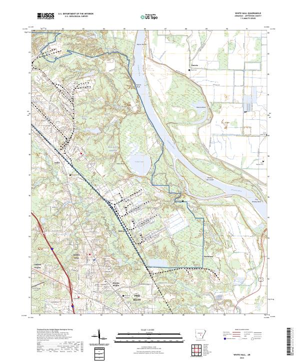
The Pine Bluff Arsenal dominates this landscape along the western banks of the Arkansas River, a sprawling facility defined by an extensive grid of service roads including Ave 314A and Patrol Rd. The topography here is shaped by the river's winding course, featuring the dramatic Tripletts Bluff and several oxbow formations such as Yellow Lake and Horseshoe Pond. These water bodies and the low-lying Bayou Narrow illustrate the complex hydrology of the floodplains north of Pine Bluff.
Find a feature on this map
175 named features on this map. Tap any name to fly to it.
Don’t see what you’re looking for? This feature index may not catch every label — zoom into the map to look around manually.
Map Details
Date Portrayed2024
Date Published2024
PublisherU.S. Geological Survey
Map TypeTopographic
Scale1:24000
Physical Dimensions24 x 29 inches
Editions of this 2024 White Hall Map
This is the sole edition of this map. No revisions or reprints were ever made.
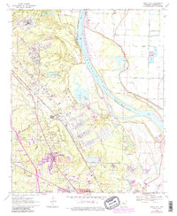
Historical Maps of Dexter Through Time
Featured Locations
Source Details
SourceU.S. Geological Survey
CopyrightPublic Domain