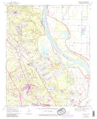
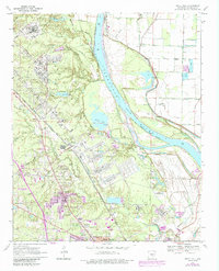
1970 Map of White Hall
USGS Topo · Published 1987About this map
The Pine Bluff Arsenal dominates the central landscape of this Arkansas River valley survey, showing a complex network of industrial structures and specialized rail lines like the U.S. Government Railroad. Developed around the critical junction of the Missouri Pacific and the St Louis Southwestern railroads, the region exhibits the mid-century growth of residential communities like White Hall, Oakland Heights, and Henslee Heights. To the east, the Arkansas River winds past Phillips Bluff and Yellow Bayou Bluff, revealing a shifting hydrologic landscape of oxbows and cutoffs, including the Hensley Bar Cutoff and Yellow Lake. Significant local heritage is preserved through markers such as Morris Chapel, Barnett Chapel, and the McFadden Cem, providing a detailed look at the rural settlements and cemeteries that persisted alongside large-scale military and industrial infrastructure.
Find a feature on this map
52 named features on this map. Tap any name to fly to it.
Don’t see what you’re looking for? This feature index may not catch every label — zoom into the map to look around manually.
Map Details
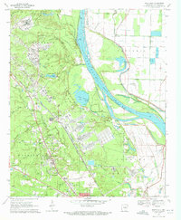
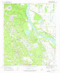
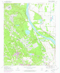
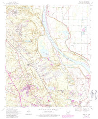
Editions of this 1970 White Hall Map
6 editions found
Other maps of this area

1932 · Pastoria
USGS Topo · 1:62,500

1935 · Altheimer
USGS Topo · 1:62,500

1935 · Pastoria
USGS Topo · 1:62,500

1935 · Noble Lake
USGS Topo · 1:62,500

1948 · Helena
USGS Topo · 1:250,000

1950 · Helena
USGS Topo · 1:250,000

1955 · Helena
USGS Topo · 1:250,000

1955 · Little Rock
USGS Topo · 1:250,000

1956 · Little Rock
USGS Topo · 1:250,000

1959 · Helena
USGS Topo · 1:250,000