
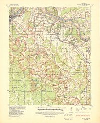
1935 Map of Noble Lake
USGS Topo · Published 1939About this map
The Arkansas River dictates the life and layout of this delta landscape, winding through Trulock Bend and Brunson Crossing while leaving behind a complex network of oxbows like Noble Lake and Adkins Lake. Settlement follows the higher ground and levees, evidenced by the dense cluster of community institutions such as Mulberry Grove Ch, Cottondale Sch, and the Tabernacle near Hooker. The influence of the Missouri Pacific and St Louis Southwestern railroads is clear, connecting the southeastern outskirts of Pine Bluff to rural hubs like Moscow and Linwood. In the southern reaches, the winding course of Bayou Bartholomew creates a distinct terrain of brakes and sloughs, including Beaver Brake and Bradshaw Brake. Dozens of family-named churches and schools, such as Taylors Sch and Motleys Chapel, reveal the deeply rooted social geography of Jefferson and Lincoln counties during this era of flood control expansion.
Find a feature on this map
95 named features on this map. Tap any name to fly to it.
Don’t see what you’re looking for? This feature index may not catch every label — zoom into the map to look around manually.
Map Details
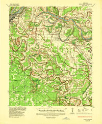
Editions of this 1935 Noble Lake Map
3 editions found
Other maps of this area

1932 · Pastoria
USGS Topo · 1:62,500

1935 · Feenyville
USGS Topo · 1:62,500

1935 · Altheimer
USGS Topo · 1:62,500

1935 · Pastoria
USGS Topo · 1:62,500

1935 · Varner
USGS Topo · 1:62,500

1935 · Rotan
USGS Topo · 1:62,500

1941 · Goldman
USGS Topo · 1:62,500

1948 · Helena
USGS Topo · 1:250,000

1950 · Helena
USGS Topo · 1:250,000

1953 · Greenwood
USGS Topo · 1:250,000