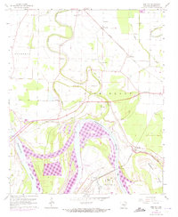
1964 Map of Rob Roy
USGS Topo · Published 1973About this map
St Louis Southwestern rails traverse this delta landscape, connecting small settlements like Haywood and Rob Roy near the winding course of the Arkansas River. The area is defined by complex water management, where the Boyd Point Cutoff and an extensive network of levee systems protect agricultural lands in Pastoria, Vaugine, and Victoria. Local social life in the 1960s is anchored by numerous country churches and cemeteries, such as St Marys Ch and the Washington Cem, many of which sit nestled in the loops of Plum Bayou.
Find a feature on this map
44 named features on this map. Tap any name to fly to it.
Don’t see what you’re looking for? This feature index may not catch every label — zoom into the map to look around manually.
Map Details
Editions of this 1964 Rob Roy Map
2 editions found
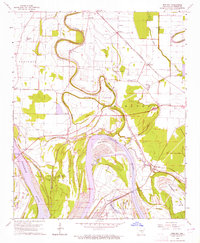
Other maps of this area

1932 · Pastoria
USGS Topo · 1:62,500

1935 · Altheimer
USGS Topo · 1:62,500

1935 · Pastoria
USGS Topo · 1:62,500

1935 · Noble Lake
USGS Topo · 1:62,500

1948 · Helena
USGS Topo · 1:250,000

1950 · Helena
USGS Topo · 1:250,000

1955 · Helena
USGS Topo · 1:250,000

1955 · Little Rock
USGS Topo · 1:250,000

1956 · Little Rock
USGS Topo · 1:250,000

1959 · Helena
USGS Topo · 1:250,000