Loading...
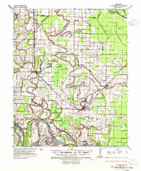
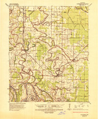
Loading map...1935 Map of Altheimer
USGS Topo · Published 1935About this map
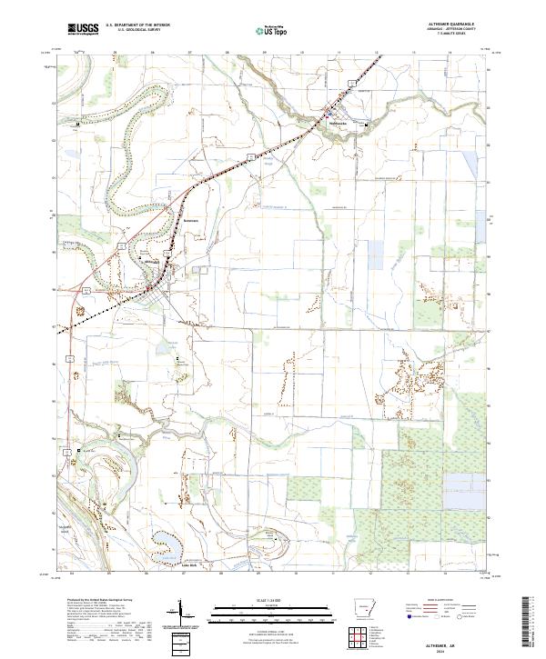
Arkansas River meanders define the southern boundary of this 1930s landscape, where the St Louis Southwestern Railway forms a critical corridor for agricultural settlements. The towns of Altheimer, Wabbaseka, and Sherrill anchor a network of bayous and sloughs, including Wabbaseka Bayou and Indian Bayou, that dictate the placement of farms and schools. The mapping reveals a society deeply invested in local institutions, evidenced by the numerous community centers like Gethsemane Ch & Sch and Barrett High Sch.
Find a feature on this map
115 named features on this map. Tap any name to fly to it.
Don’t see what you’re looking for? This feature index may not catch every label — zoom into the map to look around manually.
Map Details
Date Portrayed1935
Date Published1935
PublisherU.S. Geological Survey
Map TypeTopographic
Scale1:62,500
Physical Dimensions18 x 21.8 inches
Editions of this 1935 Altheimer Map
2 editions found
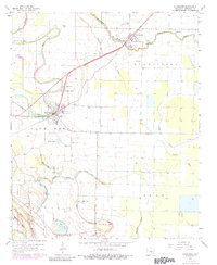
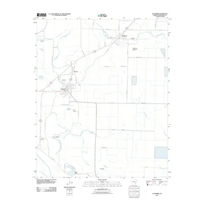
Historical Maps of Pine Bluff Through Time
7 maps found
Featured Locations
Source Details
SourceU.S. Geological Survey
CopyrightPublic Domain