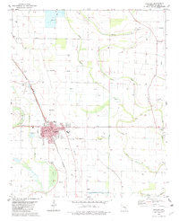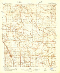
1937 Map of England
USGS Topo · Published 1937About this map
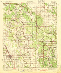
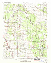
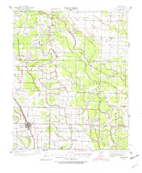
England and its surrounding delta townships appear here during a period of intensive agricultural surveying, documented in part through Works Progress Administration projects. The landscape is defined by an intricate network of waterways like Meto Bayou, Bakers Bayou, and Polecat Slough, which weave through the townships of Gum Woods and Richwoods. The density of rural infrastructure is striking, with numerous local landmarks such as Zion Chapel, Steel Bridge Ch, and Macedonia Sch serving scattered farming communities. The St Louis Southwestern railroad corridor facilitates movement through the settlements of Coy and Allport, while the Mulberry Cem and several Oak Grove Sch locations provide specific points of interest for genealogical research in this 1930s Arkansas interior.
Find a feature on this map
66 named features on this map. Tap any name to fly to it.
Don’t see what you’re looking for? This feature index may not catch every label — zoom into the map to look around manually.
Map Details
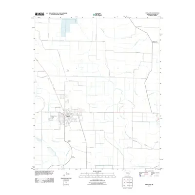
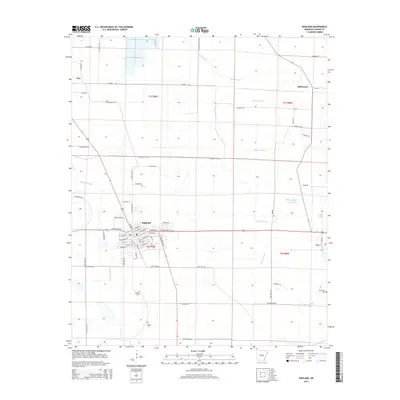
Editions of this 1937 England Map
3 editions found
Historical Maps of England Through Time
8 maps found