
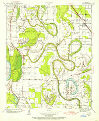
1939 Map of Keo
USGS Topo · Published 1939About this map
Plum Bayou snakes through this alluvial landscape, leaving behind a series of oxbow lakes and ponds that define the local geography just before the onset of World War II. The settlement of Keo serves as a focal point along the St Louis Southwestern Railway, while the smaller community of Wampoo sits further south. The map reveals a deeply established rural social fabric, evidenced by a high density of country churches including Cherry Hill Ch, Macedonia Chapel, and Paradise Ch, alongside local education centers like Wall Sch.
Find a feature on this map
39 named features on this map. Tap any name to fly to it.
Don’t see what you’re looking for? This feature index may not catch every label — zoom into the map to look around manually.
Map Details
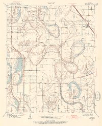
Editions of this 1939 Keo Map
3 editions found
Other maps of this area

1891 · Little Rock
USGS Topo · 1:125,000

1893 · Little Rock
USGS Topo · 1:125,000

1932 · Pastoria
USGS Topo · 1:62,500

1935 · Sweet Home
USGS Topo · 1:24,000

1935 · Altheimer
USGS Topo · 1:62,500

1935 · Pastoria
USGS Topo · 1:62,500

1937 · England
USGS Topo · 1:48,000

1940 · Woodson
USGS Topo · 1:31,680

1941 · Keo
USGS Topo · 1:31,680

1942 · Scott
USGS Topo · 1:31,680