Loading...
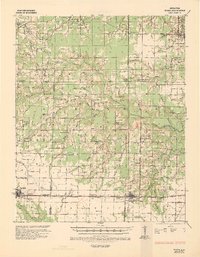
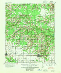
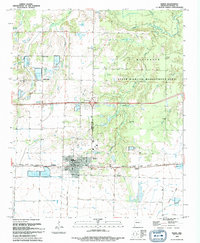
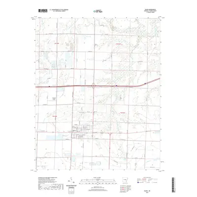
Loading map...1935 Map of Hazen
USGS Topo · Published 1936About this map
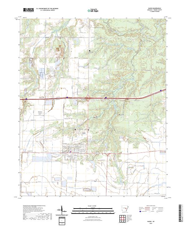
Hazen and Carlisle anchor this mid-1930s landscape across the Lonoke and Prairie County line, characterized by a transition from forested creek bottoms to the open stretches of the Grand Prairie. The southern portion of the sheet is dominated by the Chicago Rock Island and Pacific railroad, which parallels the Pacific Highway No 70 through Screeton. This transportation corridor supported a network of rural institutions, including the Cuneo Sch and Hazen Cem.
Find a feature on this map
77 named features on this map. Tap any name to fly to it.
Don’t see what you’re looking for? This feature index may not catch every label — zoom into the map to look around manually.
Map Details
Date Portrayed1935
Date Published1936
PublisherU.S. Geological Survey
Map TypeTopographic
Scale1:62,500
Physical Dimensions16.98 x 21.79 inches
Editions of this 1935 Hazen Map
This is the sole edition of this map. No revisions or reprints were ever made.
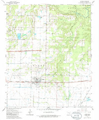
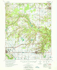
Historical Maps of Carlisle Through Time
10 maps found
Featured Locations
Source Details
SourceU.S. Geological Survey
CopyrightPublic Domain