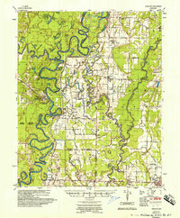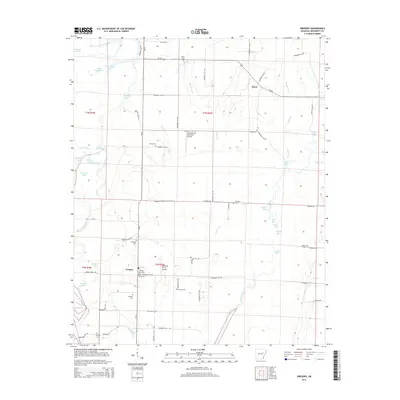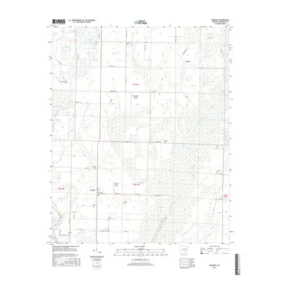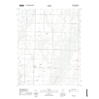
1935 Map of Gregory
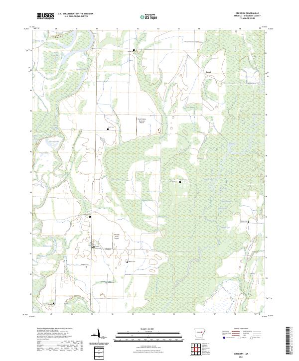
USGS Topo · Published 1946About this map
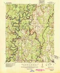
The White River and Cache River dominate this 1930s landscape, winding through a complex network of wetlands and oxbows such as Horseshoe Lake and Straight Lake. This survey by the Corps of Engineers highlights the river-dependent infrastructure of Woodruff County before modern land alterations changed the drainage patterns of the White Prairie and Woodruff Prairie. Numerous landings and bluffs, including Andrews Ldg and Smokehouse Bluff, indicate the importance of river traffic for local commerce during this era.
Find a feature on this map
59 named features on this map. Tap any name to fly to it.
Don’t see what you’re looking for? This feature index may not catch every label — zoom into the map to look around manually.
Map Details
Editions of this 1935 Gregory Map
This is the sole edition of this map. No revisions or reprints were ever made.
Historical Maps of Cotton Plant Through Time
9 maps found