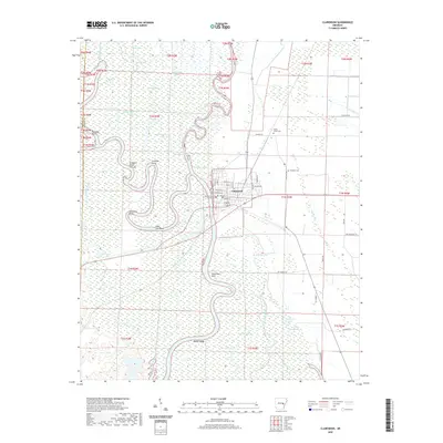
1935 Map of Clarendon
USGS Topo · Published 1943About this map
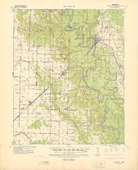
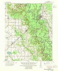
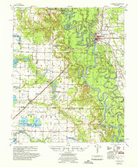
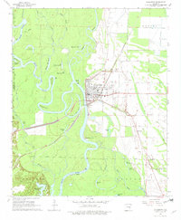
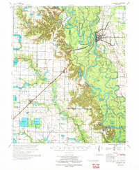
Clarendon serves as the focal point of this 1930s survey, positioned where the St Louis Southwestern Railroad crosses the White River. The landscape is defined by the winding hydrology of the Cache River and Lagrue Bayou, creating a complex network of points and bends like Wolf Bend and Dead Man Pt. The river-dependent economy of the era is evident in features such as the Ramsey Mill Site and river crossings like Harris Ferry and Preston Ferry. Rural life in Monroe County and Arkansas County is anchored by numerous combined institutions, including the Philadelphia Ch & Sch and Bethlehem Sch & Ch. Smaller agricultural settlements like Roe and Ulm are connected by early road systems and the Missouri Pacific Railroad, while local commerce is represented by the Lookout Store at a prominent crossroads.
Find a feature on this map
67 named features on this map. Tap any name to fly to it.
Don’t see what you’re looking for? This feature index may not catch every label — zoom into the map to look around manually.
Map Details
Editions of this 1935 Clarendon Map
This is the sole edition of this map. No revisions or reprints were ever made.
Historical Maps of Clarendon Through Time
10 maps found
1935 Clarendon
Monroe County, AR
1941 Clarendon
Monroe County, AR
1957 Clarendon
Monroe County, AR
1968 Clarendon
Monroe County, AR
1972 Clarendon
Monroe County, AR
2011 Clarendon
Monroe County, AR
2014 Clarendon
Monroe County, AR
2017 Clarendon
Monroe County, AR
2020 Clarendon
Monroe County, AR
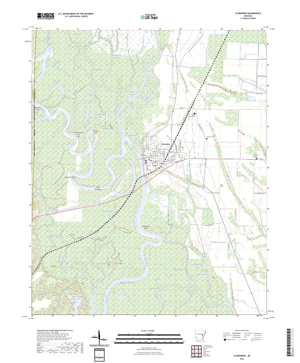
2024 Clarendon
Monroe County, AR