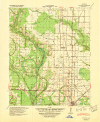
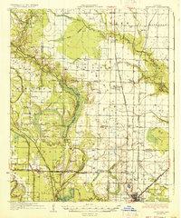
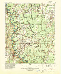
1939 Map of Stuttgart
USGS Topo · Published 1947About this map
Stuttgart anchors the southern edge of this survey, serving as a vital rail hub where the St Louis Southwestern Ry and the Chicago Rock Island & Pacific Ry converge. The landscape is defined by the flat, productive reaches of Long Prairie and the Lonoke and Arkansas county lines. This era shows a densely settled rural interior supported by a network of one-room schoolhouses like Fairmount Sch, Independence Sch, and Wylie Sch.
Find a feature on this map
53 named features on this map. Tap any name to fly to it.
Don’t see what you’re looking for? This feature index may not catch every label — zoom into the map to look around manually.
Map Details
Editions of this 1939 Stuttgart Map
This is the sole edition of this map. No revisions or reprints were ever made.
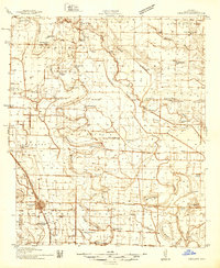
Other maps of this area
1935 · Altheimer
USGS Topo · 1:62,500
1935 · Hazen
USGS Topo · 1:62,500
1935 · Clarendon
USGS Topo · 1:62,500
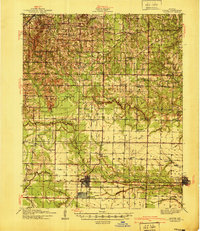
1937 · Stuttgart
USGS Topo · 1:62,500
1937 · England
USGS Topo · 1:48,000
1940 · Lonoke
USGS Topo · 1:62,500
1941 · Hazen
USGS Topo · 1:62,500

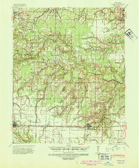
1941 · De Witt
USGS Topo · 1:62,500
1941 · De Valls Bluff
USGS Topo · 1:62,500
1941 · Goldman
USGS Topo · 1:62,500