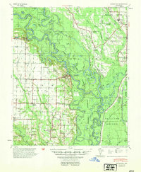
1939 Map of Indian Bay
USGS Topo · Published 1941About this map
White River and Arkansas River dominate this low-lying landscape, winding through a complex system of sloughs, chutes, and cut-offs. The 1939 topography reveals a river-dependent economy where the Pumping Plant and extensive levee work under the Flood Control Act of 1939 highlight the ongoing struggle to manage the floodwaters of the Mississippi Delta. Small rural settlements and post offices like Indian Bay P O and St Charles serve as anchors for the surrounding agricultural community, which is dotted with neighborhood-centric institutions. Many of these, such as Valley Grove Ch & Sch and St John Ch & Cem, combined spiritual and educational life in single locations. The map provides a detailed view of family-named landmarks and land-use patterns, from Colonel Point Sch in the east to Ethel in the southwest, reflecting the dispersed nature of Arkansas delta life before modern consolidation.
Find a feature on this map
55 named features on this map. Tap any name to fly to it.
Don’t see what you’re looking for? This feature index may not catch every label — zoom into the map to look around manually.
Map Details
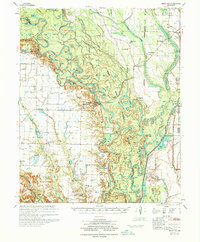
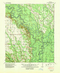
Editions of this 1939 Indian Bay Map
2 editions found
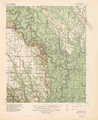
Historical Maps of Saint Charles Through Time
3 maps found