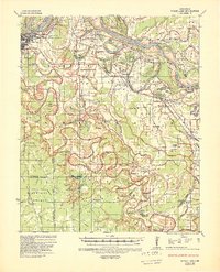
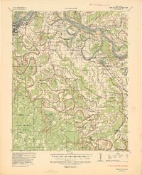
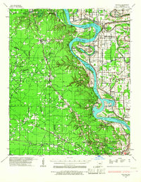
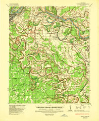
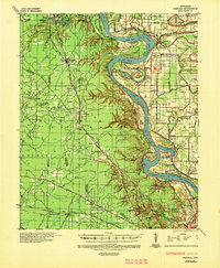
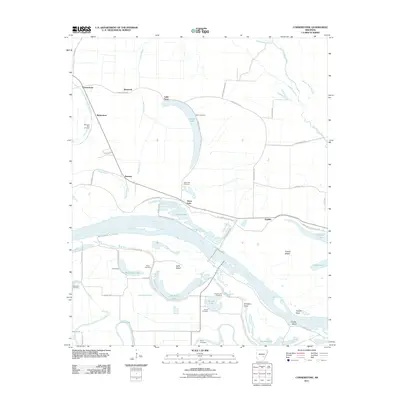
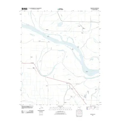
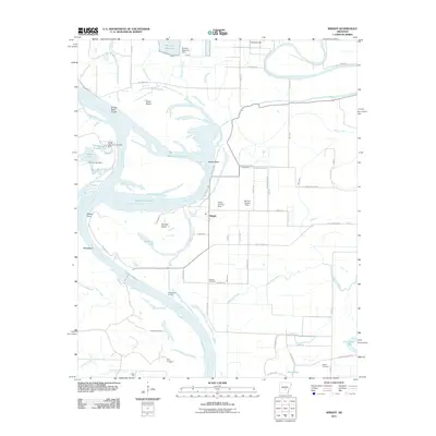
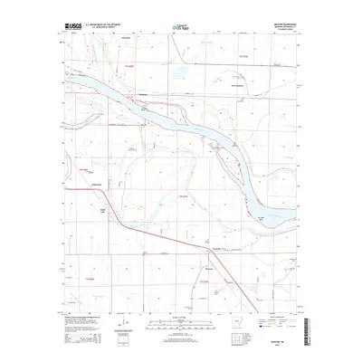
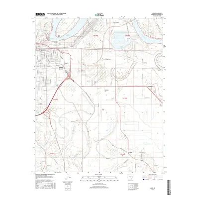
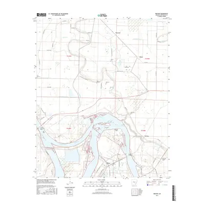
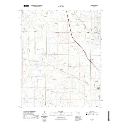
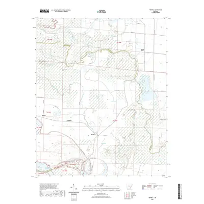
1935 Map of Noble Lake
USGS Topo · Published 1944About this map
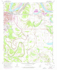
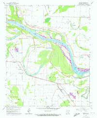
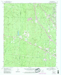
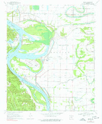
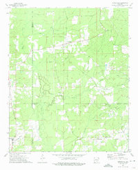
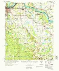
Arkansas River oxbows and meanders dominate this mid-1930s landscape, where the shifting river channel created water bodies like Johnsons Lake, Adkins Lake, and the namesake Noble Lake. The area south of Pine Bluff is defined by a dense network of bayous, including Bayou Bartholomew and Cousart Bayou, which dictated the placement of early settlements and agricultural tracts. This era shows a rural society organized around small communities, each centered on its own place of worship or education, such as Elm Grove Ch, Oak Grove Ch & Sch, and Taylors Sch.
Find a feature on this map
115 named features on this map. Tap any name to fly to it.
Don’t see what you’re looking for? This feature index may not catch every label — zoom into the map to look around manually.
Map Details
Editions of this 1935 Noble Lake Map
3 editions found
Historical Maps of Pine Bluff Through Time
59 maps found
1932 Pastoria
Jefferson County, AR
1935 Noble Lake
Jefferson County, AR
1935 Pastoria
Jefferson County, AR
1962 Pine Bluff NW
Jefferson County, AR
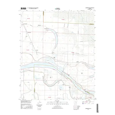
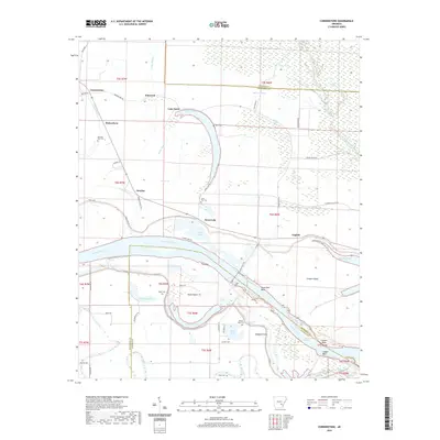
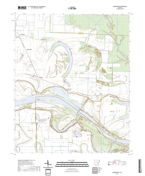
1964 Cornerstone
Jefferson County, AR
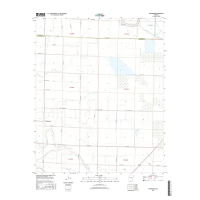
1964 Gethsemane
Jefferson County, AR
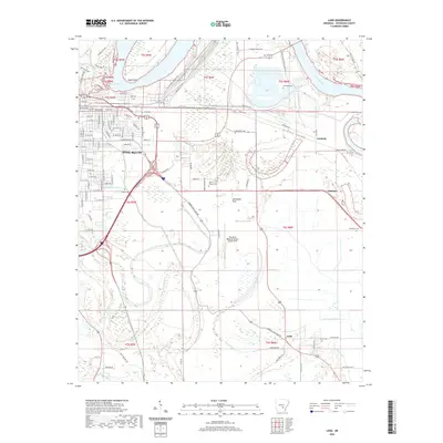
1964 Ladd
Jefferson County, AR
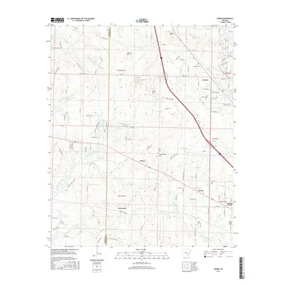
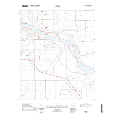
1964 Moscow
Jefferson County, AR
1964 Reydell
Jefferson County, AR
1964 Rob Roy
Jefferson County, AR
1970 Hardin
Jefferson County, AR
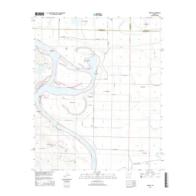
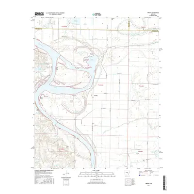
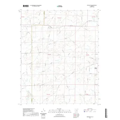
1970 Wright
Jefferson County, AR
1973 Cornerstone
Jefferson County, AR
1978 Noble Lake
Jefferson County, AR
2011 Cornerstone
Jefferson County, AR
2011 Gethsemane
Jefferson County, AR
2011 Hardin
Jefferson County, AR
2011 Ladd
Jefferson County, AR
2011 Moscow
Jefferson County, AR
2011 Pine Bluff NW
Jefferson County, AR
2011 Reydell
Jefferson County, AR
2011 Rob Roy
Jefferson County, AR
2011 Wright
Jefferson County, AR
2014 Cornerstone
Jefferson County, AR
2014 Gethsemane
Jefferson County, AR
2014 Hardin
Jefferson County, AR

2014 Ladd
Jefferson County, AR
2014 Moscow
Jefferson County, AR
2014 Pine Bluff NW
Jefferson County, AR
2014 Reydell
Jefferson County, AR
2014 Rob Roy
Jefferson County, AR
2014 Wright
Jefferson County, AR
2017 Cornerstone
Jefferson County, AR
2017 Gethsemane
Jefferson County, AR
2017 Hardin
Jefferson County, AR
2017 Ladd
Jefferson County, AR
2017 Moscow
Jefferson County, AR
2017 Pine Bluff NW
Jefferson County, AR
2017 Reydell
Jefferson County, AR
2017 Rob Roy
Jefferson County, AR
2017 Wright
Jefferson County, AR
2020 Cornerstone
Jefferson County, AR
2020 Gethsemane
Jefferson County, AR
2020 Hardin
Jefferson County, AR
2020 Ladd
Jefferson County, AR
2020 Moscow
Jefferson County, AR
2020 Pine Bluff NW
Jefferson County, AR
2020 Reydell
Jefferson County, AR
2020 Rob Roy
Jefferson County, AR
2020 Wright
Jefferson County, AR
2024 Cornerstone
Jefferson County, AR
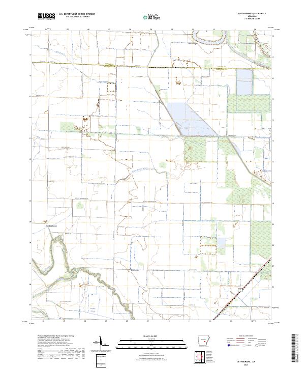
2024 Gethsemane
Jefferson County, AR
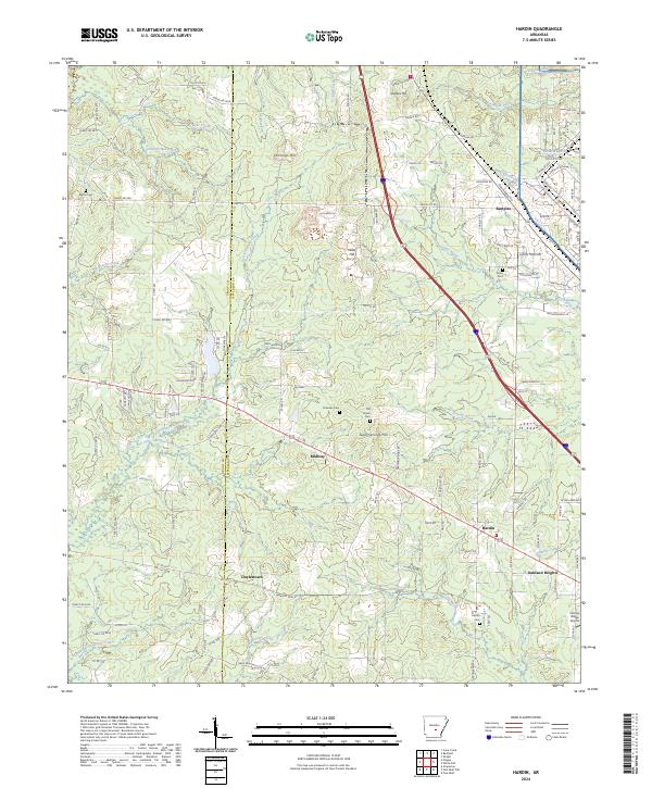
2024 Hardin
Jefferson County, AR
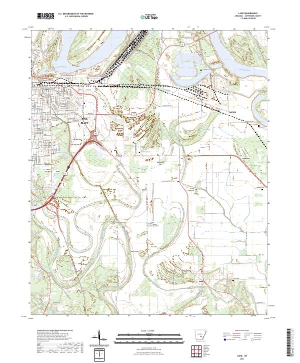
2024 Ladd
Jefferson County, AR
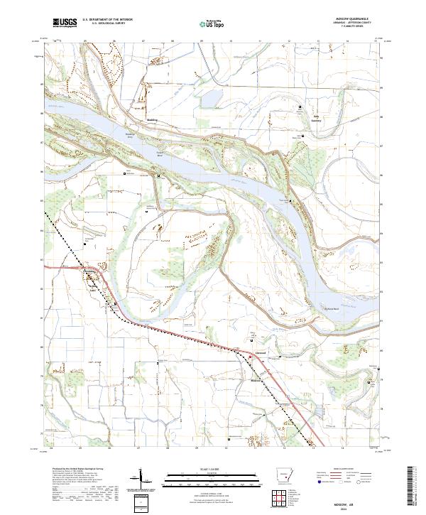
2024 Moscow
Jefferson County, AR
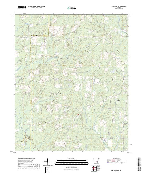
2024 Pine Bluff NW
Jefferson County, AR
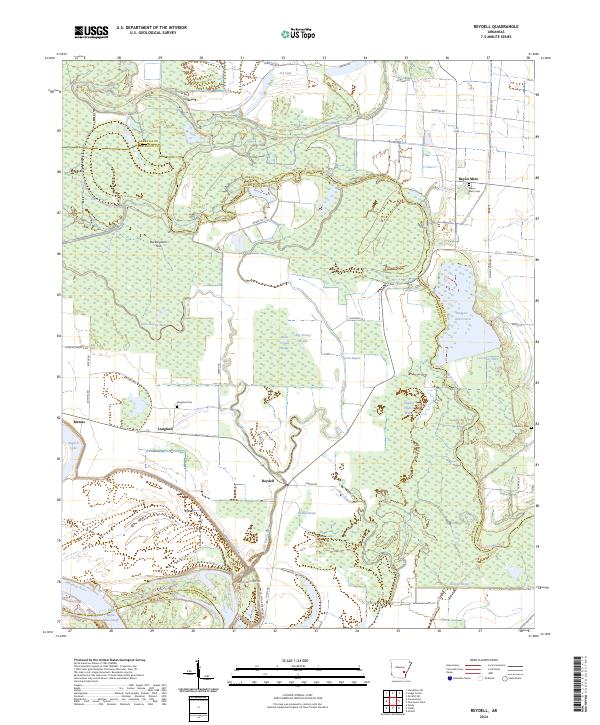
2024 Reydell
Jefferson County, AR
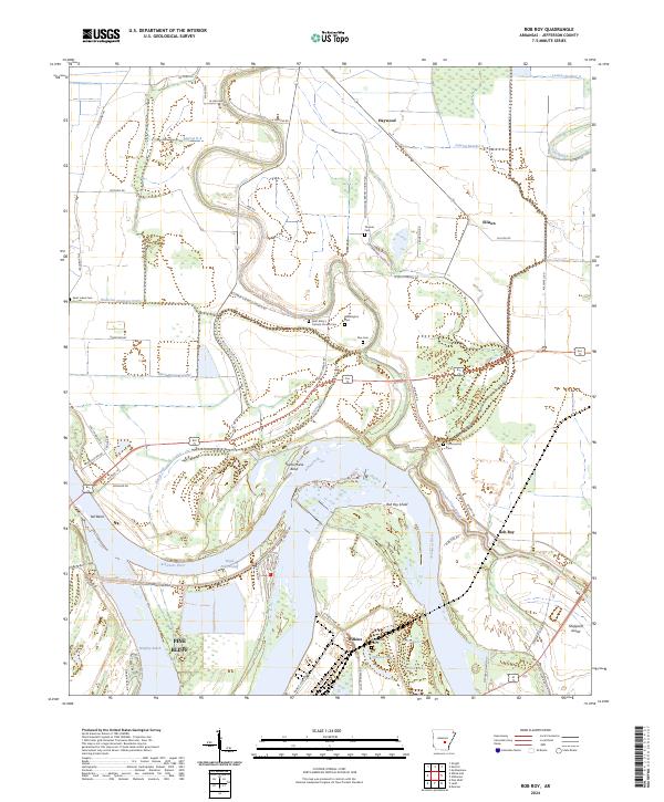
2024 Rob Roy
Jefferson County, AR
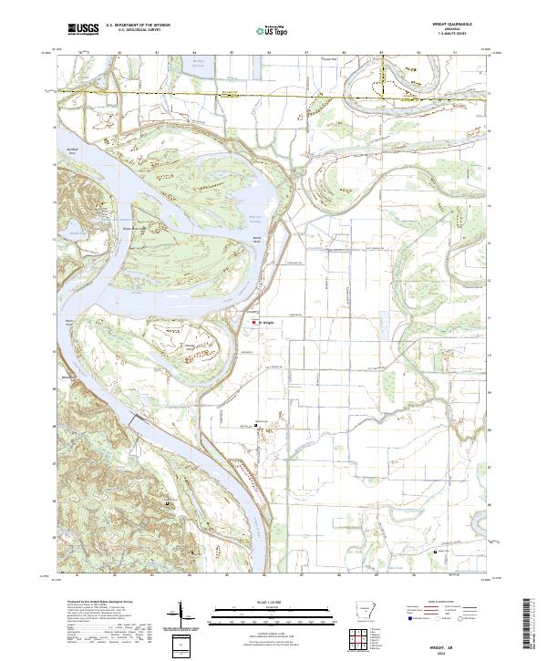
2024 Wright
Jefferson County, AR